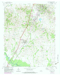
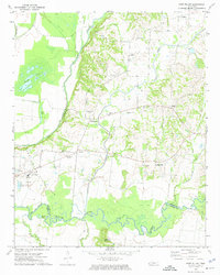
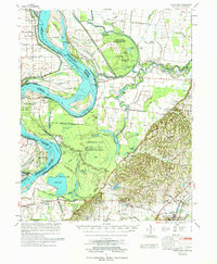
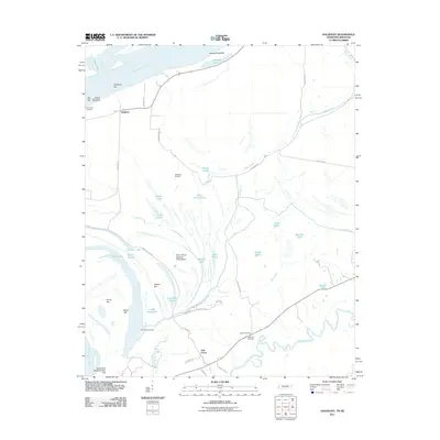
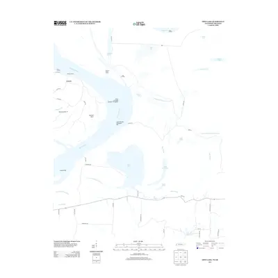
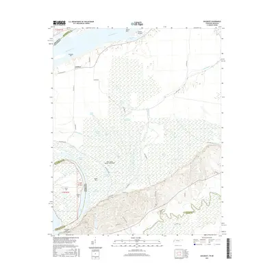
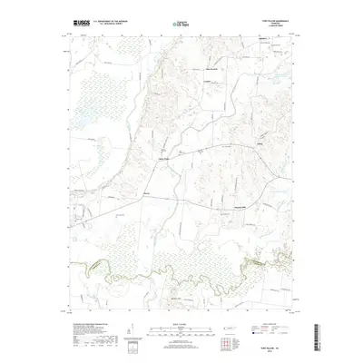
1972 Map of Ripley South
USGS Topo · Published 1983About this map
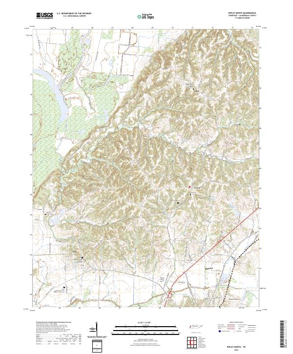
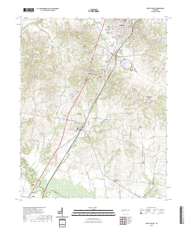
The Illinois Central Gulf railroad serves as the primary corridor through this portion of Lauderdale County, connecting the commercial centers of Ripley and Henning. This 1970s landscape is characterized by a dense network of local institutions, including Beasleys Chapel, Salem Ch, and Hurricane Hill Ch, which anchor the rural community. To the south, the Hatchie River forms the natural boundary between Lauderdale and Tipton counties, with the small settlement of Rialto situated near its banks.
Find a feature on this map
36 named features on this map. Tap any name to fly to it.
Don’t see what you’re looking for? This feature index may not catch every label — zoom into the map to look around manually.
Map Details
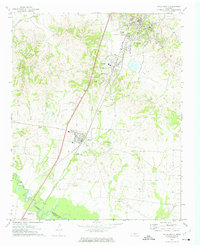
Editions of this 1972 Ripley South Map
2 editions found
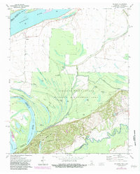
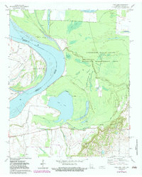
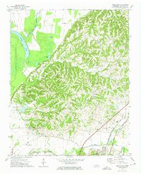
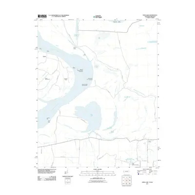
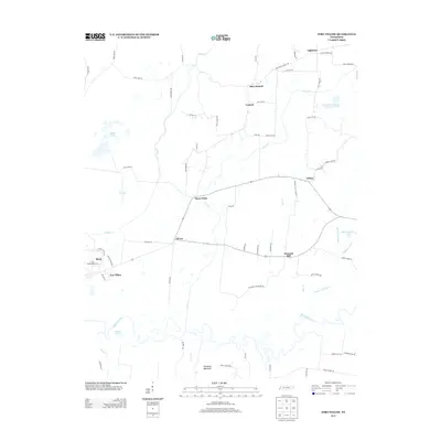
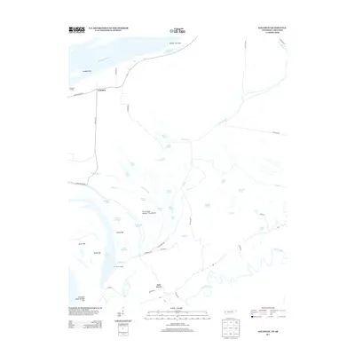
Historical Maps of Ripley Through Time
33 maps found
1961 Hales Point
Lauderdale County, TN
1962 Hales Point
Lauderdale County, TN
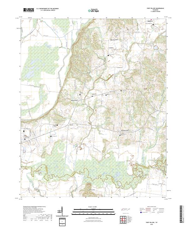
1972 Fort Pillow
Lauderdale County, TN
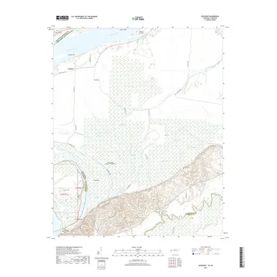
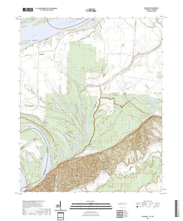
1972 Golddust
Lauderdale County, TN
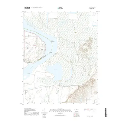
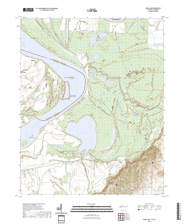
1972 Open Lake
Lauderdale County, TN
1972 Ripley North
Lauderdale County, TN
1972 Ripley South
Lauderdale County, TN
1977 Hales Point
Lauderdale County, TN
2010 Fort Pillow
Lauderdale County, TN
2010 Ripley North
Lauderdale County, TN
2010 Ripley South
Lauderdale County, TN
2011 Golddust
Lauderdale County, TN
2011 Open Lake
Lauderdale County, TN
2013 Fort Pillow
Lauderdale County, TN
2013 Golddust
Lauderdale County, TN
2013 Open Lake
Lauderdale County, TN
2013 Ripley North
Lauderdale County, TN
2013 Ripley South
Lauderdale County, TN
2016 Fort Pillow
Lauderdale County, TN
2016 Golddust
Lauderdale County, TN
2016 Open Lake
Lauderdale County, TN
2016 Ripley North
Lauderdale County, TN
2016 Ripley South
Lauderdale County, TN
2019 Fort Pillow
Lauderdale County, TN
2019 Golddust
Lauderdale County, TN
2019 Open Lake
Lauderdale County, TN

2019 Ripley North
Lauderdale County, TN
2019 Ripley South
Lauderdale County, TN
2022 Fort Pillow
Lauderdale County, TN
2022 Golddust
Lauderdale County, TN
2022 Open Lake
Lauderdale County, TN
2022 Ripley North
Lauderdale County, TN
2022 Ripley South
Lauderdale County, TN