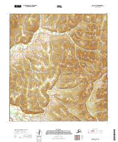
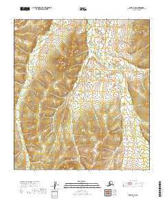
2019 Map of Ophir A-1 NW
USGS Topo · Published 2019About this map
The Kuskokwim Mountains dominate this interior Alaskan landscape, shaping the drainage patterns of the Innoko River valley. This 2019 survey captures a remote wilderness defined by steep relief and a network of stream systems including Warner Cr, Dome Cr, and Spruce Cr. These waterways are historically significant within the Ophir region, an area known for its early 20th-century gold mining activity. The map reveals the intricate natural topography of the Victor Gulch area, providing a detailed record of the terrain as it remains today, largely devoid of modern road infrastructure or permanent settlements. The presence of these named drainage features indicates a landscape that has been thoroughly explored and traversed by prospectors and surveyors over the decades.
Find a feature on this map
12 named features on this map. Tap any name to fly to it.
Don’t see what you’re looking for? This feature index may not catch every label — zoom into the map to look around manually.
Map Details
Editions of this 2019 Ophir A-1 NW Map
This is the sole edition of this map. No revisions or reprints were ever made.
Other maps of this area

1951 · Ophir
USGS Topo · 1:250,000

1954 · Ophir A-2
USGS Topo · 1:63,360

1954 · Ophir A-1
USGS Topo · 1:63,360

1954 · Ophir B-1
USGS Topo · 1:63,360

1954 · Ophir B-2
USGS Topo · 1:63,360

1954 · Ophir
USGS Topo · 1:250,000
1965 · Ophir B-2
USGS Topo · 1:63,360
2019 · Ophir A-1 NE
USGS Topo · 1:25,000
2019 · Ophir A-2 SE
USGS Topo · 1:25,000
2019 · Ophir B-1 SE
USGS Topo · 1:25,000