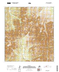
2019 Map of Ophir A-1 NE
USGS Topo · Published 2019About this map
The Kuskokwim Mountains dominate this portion of the Alaskan interior, characterized by a complex network of high ridges and significant drainage basins. Prominent peaks such as Cloudy Mtn and Twin Mtn provide the primary geographic landmarks in a landscape defined by its vertical relief. The hydrology of the area is centered on the Innoko River, which flows through the southeastern section, fed by several tributaries including John Reed Cr, Roberts Cr, and the S Fork Folger Cr. This topographical survey captures a wilderness region where the land's character is dictated entirely by its watershed patterns and the high elevations of the central mountains, with no road infrastructure or permanent settlements indicated within the mapped boundaries.
Find a feature on this map
11 named features on this map. Tap any name to fly to it.
Don’t see what you’re looking for? This feature index may not catch every label — zoom into the map to look around manually.
Map Details
Editions of this 2019 Ophir A-1 NE Map
This is the sole edition of this map. No revisions or reprints were ever made.
Other maps of this area

1950 · Medfra
USGS Topo · 1:250,000

1951 · Ophir
USGS Topo · 1:250,000

1954 · Medfra A-6
USGS Topo · 1:63,360

1954 · Ophir A-1
USGS Topo · 1:63,360

1954 · Medfra B-6
USGS Topo · 1:63,360

1954 · Ophir B-1
USGS Topo · 1:63,360

1954 · Ophir
USGS Topo · 1:250,000

1959 · Medfra
USGS Topo · 1:250,000
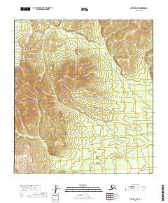
2019 · Medfra A-6 NW
USGS Topo · 1:25,000
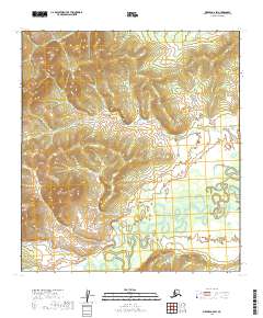
2019 · Medfra A-6 SW
USGS Topo · 1:25,000