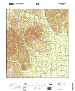
2019 Map of Medfra A-6 NW
USGS Topo · Published 2019About this map
The Kuskokwim Mountains dominate this high-latitude terrain within the Yukon-Koyukuk Census Area. This interior Alaskan landscape is defined by its significant relief, with Cloudy Mtn rising as a prominent landmark in the western portion of the quadrangle. Drainage patterns are established by remote waterways including Ivy Cr in the north and the winding course of John Reek Cr in the south. The area is largely defined by the Public Land Survey System, specifically within the boundaries of t26s r15e, t26s r16e, and the townships to their south. The map reflects a wilderness character where topography and natural watercourses are the primary identifiers, as no modern roads or settlements are recorded in this specific section of the Alaskan interior.
Find a feature on this map
8 named features on this map. Tap any name to fly to it.
Don’t see what you’re looking for? This feature index may not catch every label — zoom into the map to look around manually.
Map Details
Editions of this 2019 Medfra A-6 NW Map
This is the sole edition of this map. No revisions or reprints were ever made.
Other maps of this area

1950 · Medfra
USGS Topo · 1:250,000

1951 · Ophir
USGS Topo · 1:250,000

1954 · Medfra A-6
USGS Topo · 1:63,360

1954 · Ophir A-1
USGS Topo · 1:63,360

1954 · Medfra B-6
USGS Topo · 1:63,360

1954 · Ophir B-1
USGS Topo · 1:63,360

1954 · Ophir
USGS Topo · 1:250,000

1959 · Medfra
USGS Topo · 1:250,000
2019 · Ophir A-1 NE
USGS Topo · 1:25,000
2019 · Medfra A-6 NE
USGS Topo · 1:25,000