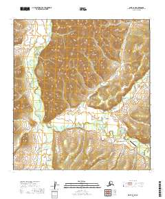
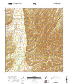
2019 Map of Ophir A-2 NE
USGS Topo · Published 2019About this map
Ophir stands as a remote outpost within the Kuskokwim Mountains in this 2019 survey, representing a historic interior mining district connected to the outside world primarily by the Sterling Landing-Takotna-Ophir Road. The landscape is dominated by the meandering course of the Innoko River, which drains a complex network of gold-bearing tributaries including Gold Run, Ophir Cr, and American Cr. The presence of the Ophir Airport underscores the critical importance of aviation for reaching these isolated Yukon-Koyukuk regions. The settlement pattern follows the drainages, where creek names like Anvil Cr and Steel Cr hint at the area's prospecting heritage. This topographic study captures the intersection of traditional river-based geography and modern infrastructure in one of Alaska’s most storied mining corridors.
Find a feature on this map
17 named features on this map. Tap any name to fly to it.
Don’t see what you’re looking for? This feature index may not catch every label — zoom into the map to look around manually.
Map Details
Editions of this 2019 Ophir A-2 NE Map
This is the sole edition of this map. No revisions or reprints were ever made.
Other maps of this area

1951 · Ophir
USGS Topo · 1:250,000

1954 · Ophir A-2
USGS Topo · 1:63,360

1954 · Ophir A-1
USGS Topo · 1:63,360

1954 · Ophir B-1
USGS Topo · 1:63,360

1954 · Ophir B-2
USGS Topo · 1:63,360

1954 · Ophir
USGS Topo · 1:250,000
1965 · Ophir B-2
USGS Topo · 1:63,360
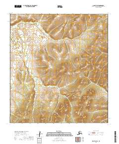
2019 · Ophir B-2 SW
USGS Topo · 1:25,000
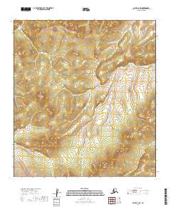
2019 · Ophir A-2 SW
USGS Topo · 1:25,000
2019 · Ophir A-2 SE
USGS Topo · 1:25,000