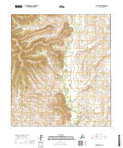
2017 Map of Ophir D-5 SW
USGS Topo · Published 2017About this map
Innoko National Wildlife Refuge encompasses nearly the entirety of this interior Alaskan landscape, characterized by the winding path of Magitchlie Cr. This 2017 survey reveals a terrain defined by subtle elevation changes and the complex hydrology of the Innoko River basin. The map provides a precise look at the Public Land Survey System grid, including township markers such as t19s r2e and t20s r3e, which are essential for locating specific land parcels in this largely undeveloped wilderness. The absence of roads or established settlements underscores the preserved nature of this wildlife habitat within the Yukon-Koyukuk Census Area. Genealogists or researchers tracking historical land use in the Innoko region can use these detailed contours and hydrographic data to orient themselves within the vast, protected wetlands.
Find a feature on this map
6 named features on this map. Tap any name to fly to it.
Don’t see what you’re looking for? This feature index may not catch every label — zoom into the map to look around manually.
Map Details
Editions of this 2017 Ophir D-5 SW Map
This is the sole edition of this map. No revisions or reprints were ever made.
Other maps of this area

1951 · Ophir
USGS Topo · 1:250,000
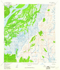
1954 · Ophir D-6
USGS Topo · 1:63,360

1954 · Ophir C-6
USGS Topo · 1:63,360
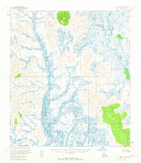
1954 · Ophir D-5
USGS Topo · 1:63,360

1954 · Ophir C-5
USGS Topo · 1:63,360

1954 · Ophir
USGS Topo · 1:250,000
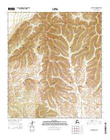
2014 · Ophir D-6 SE
USGS Topo · 1:25,000
2014 · Ophir C-6 NE
USGS Topo · 1:25,000
2014 · Ophir C-5 NW
USGS Topo · 1:25,000
2015 · Ophir C-5 NE
USGS Topo · 1:25,000