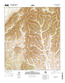
2014 Map of Ophir D-6 SE
USGS Topo · Published 2014About this map
N Hather Cr provides the primary drainage through this remote Alaskan landscape, winding through a complex series of topographic contours in the interior. This 2014 survey focuses on the uninhabited wilderness within the t19s r1e, t19s r2e, t20s r1e, and t20s r2e township and range blocks. The lack of roads or structures indicates a pristine environment dominated by the natural hydrology of the creek system. Researchers and land managers can use this technical study to understand the drainage patterns and elevation changes across these specific public land survey sections in the Yukon-Koyukuk region.
Find a feature on this map
5 named features on this map. Tap any name to fly to it.
Don’t see what you’re looking for? This feature index may not catch every label — zoom into the map to look around manually.
Map Details
Editions of this 2014 Ophir D-6 SE Map
This is the sole edition of this map. No revisions or reprints were ever made.
Other maps of this area

1951 · Ophir
USGS Topo · 1:250,000
1954 · Ophir D-6
USGS Topo · 1:63,360

1954 · Ophir C-6
USGS Topo · 1:63,360
1954 · Ophir D-5
USGS Topo · 1:63,360

1954 · Ophir C-5
USGS Topo · 1:63,360

1954 · Ophir
USGS Topo · 1:250,000
2014 · Ophir C-6 NE
USGS Topo · 1:25,000
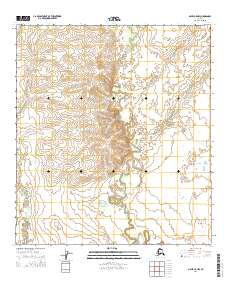
2014 · Ophir C-5 NW
USGS Topo · 1:25,000
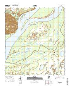
2015 · Ophir D-6 NW
USGS Topo · 1:25,000
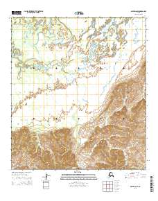
2015 · Ophir D-6 SW
USGS Topo · 1:25,000