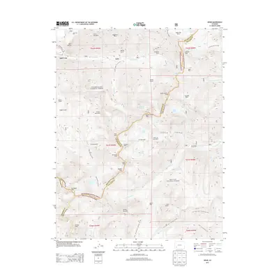
2013 Map of Ophir
USGS Topo · Published 2013About this map
Ophir and the surrounding high-altitude terrain of the Uncompahgre National Forest define this 2013 survey of the San Juan Mountains. The map details a landscape of extreme verticality, where the historic settlement of Ophir sits below Silver Mountain and the prominent Ophir Needles. To the west, the Ophir Loop area remains a point of interest for those tracing the path of former mountain transit lines like the Ophir Loop Tram.
Find a feature on this map
73 named features on this map. Tap any name to fly to it.
Don’t see what you’re looking for? This feature index may not catch every label — zoom into the map to look around manually.
Map Details
Editions of this 2013 Ophir Map
This is the sole edition of this map. No revisions or reprints were ever made.
Other maps of this area

1897 · Telluride
USGS Topo · 1:62,500

1897 · Silverton
USGS Topo · 1:62,500

1898 · Engineer Mountain
USGS Topo · 1:62,500

1900 · Engineer Mountain
USGS Topo · 1:62,500

1900 · Needle Mountains
USGS Topo · 1:62,500

1901 · Silverton
USGS Topo · 1:62,500

1902 · Needle Mountains
USGS Topo · 1:62,500

1902 · Silverton
USGS Topo · 1:62,500

1904 · Telluride
USGS Topo · 1:62,500

1908 · Engineer Mountain
USGS Topo · 1:62,500