Loading...
Loading map...2022 Map of Ophir
USGS Topo · Published 2022About this map
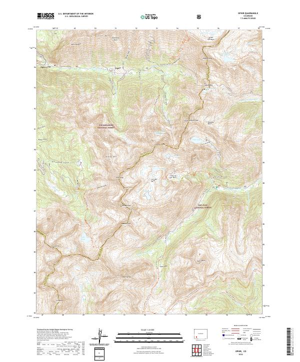
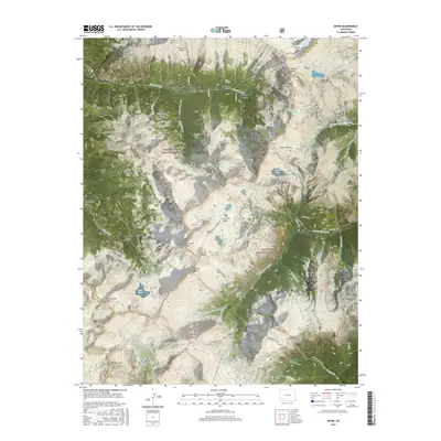
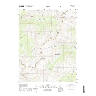
Ophir and the nearby Ophir Loop occupy a high-altitude landscape defined by the intersection of the Uncompahgre National Forest and San Juan National Forest. This terrain is marked by the legacy of mountain travel and extraction, with Iron Springs and the formidable Ophir Pass providing passage through the peaks. The settlement pattern follows the drainage of the Howard Fork, where steep ridges like the Ophir Needles and Yellow Mtn rise sharply above narrow basins.
Find a feature on this map
75 named features on this map. Tap any name to fly to it.
Don’t see what you’re looking for? This feature index may not catch every label — zoom into the map to look around manually.
Map Details
Date Portrayed2022
Date Published2022
PublisherU.S. Geological Survey
Map TypeTopographic
Scale1:24,000
Physical Dimensions24 x 29 inches
Editions of this 2022 Ophir Map
This is the sole edition of this map. No revisions or reprints were ever made.
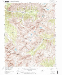
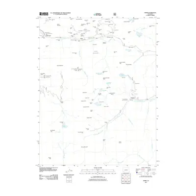
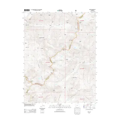
Historical Maps of Ophir Through Time
6 maps found
Featured Locations
Source Details
SourceU.S. Geological Survey
CopyrightPublic Domain