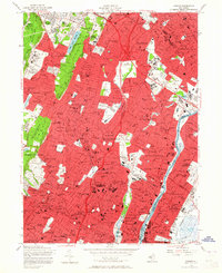
1955 Map of Orange
USGS Topo · Published 1965About this map
The Watchung Mountains rise along the western edge of this mid-1950s survey, overlooking a densely developed urban corridor defined by the Passaic River. This map illustrates the post-war growth of Essex County, showing the intersection of heavy rail infrastructure like the Erie RR and the Delaware Lackawanna and Western RR with new thoroughfares like the Garden State Parkway. The landscape is a mix of tightly packed residential blocks in Newark and Passaic and expansive public greenspaces, including the Eagle Rock Reservation and Branch Brook Park.
Find a feature on this map
128 named features on this map. Tap any name to fly to it.
Don’t see what you’re looking for? This feature index may not catch every label — zoom into the map to look around manually.
Map Details
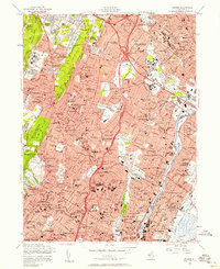
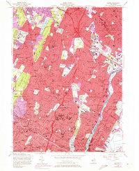
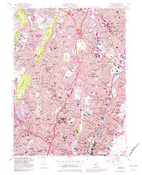
Editions of this 1955 Orange Map
4 editions found
Other maps of this area

1888 · Plainfield
USGS Topo · 1:62,500

1888 · Morristown
USGS Topo · 1:62,500

1888 · Paterson
USGS Topo · 1:62,500

1892 · Paterson
USGS Topo · 1:62,500

1893 · Plainfield
USGS Topo · 1:62,500

1894 · Morristown
USGS Topo · 1:62,500

1898 · Morristown
USGS Topo · 1:62,500

1898 · Plainfield
USGS Topo · 1:62,500

1898 · Staten Island
USGS Topo · 1:62,500

1898 · Paterson
USGS Topo · 1:62,500