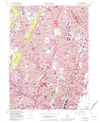
1955 Map of Orange
USGS Topo · Published 1982About this map
The eastern slopes of the Watchung Mountains provide a dramatic backdrop for the densely populated suburbs of Essex County in the mid-1950s. This survey illustrates the intricate residential and industrial weave of the Oranges, Montclair, and Bloomfield, where major transit corridors like the Garden State Parkway and Bloomfield Ave shaped the post-war commute. The landscape is defined by its massive institutional and communal footprints, ranging from the Cedar Grove Reservoir to extensive healthcare sites like Overbrook Hospital and the County Sanatorium. Educational and religious life is exceptionally detailed, featuring Upsala College and a high density of parish schools such as St Cassian Sch & Ch. To the east, the Passaic River forms a critical industrial boundary, flanked by the residential grids of Belleville and Nutley. Large recreational and preservation areas, including Mills Reservation County Park and Eagle Rock Reservation (County Park), offer a stark contrast to the surrounding urban expansion.
Find a feature on this map
166 named features on this map. Tap any name to fly to it.
Don’t see what you’re looking for? This feature index may not catch every label — zoom into the map to look around manually.
Map Details
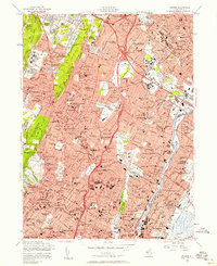
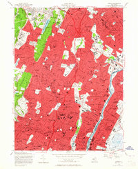
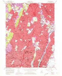
Editions of this 1955 Orange Map
4 editions found
Other maps of this area

1888 · Plainfield
USGS Topo · 1:62,500

1888 · Morristown
USGS Topo · 1:62,500

1888 · Paterson
USGS Topo · 1:62,500

1892 · Paterson
USGS Topo · 1:62,500

1893 · Plainfield
USGS Topo · 1:62,500

1894 · Morristown
USGS Topo · 1:62,500

1898 · Morristown
USGS Topo · 1:62,500

1898 · Plainfield
USGS Topo · 1:62,500

1898 · Staten Island
USGS Topo · 1:62,500

1898 · Paterson
USGS Topo · 1:62,500