
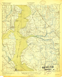
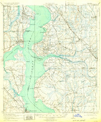
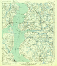
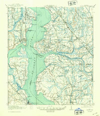
1918 Map of Orange Park
USGS Topo · Published 1918About this map
The St. Johns River dominates this landscape, serving as a massive water corridor that separates the early twentieth-century settlements of Orange Park and Mandarin. This region exhibits a sophisticated early transportation network where the Atlantic Coast Line railroad and the Jacksonville and St Augustine rail line run parallel to historic thoroughfares like the Old St Augustine Road and Kings Road. Evidence of maritime dependence is seen at Neals Dock and the numerous named points along the river, including Beauclerc Bluff and Magnolia Pt.
Find a feature on this map
68 named features on this map. Tap any name to fly to it.
Don’t see what you’re looking for? This feature index may not catch every label — zoom into the map to look around manually.
Map Details
Editions of this 1918 Orange Park Map
5 editions found
Other maps of this area

1917 · Orange Park
USGS Topo · 1:62,500

1917 · Cambon
USGS Topo · 1:62,500

1918 · Middleburg
USGS Topo · 1:62,500

1918 · Cambon
USGS Topo · 1:62,500

1918 · Jacksonville
USGS Topo · 1:62,500

1918 · Palm Valley
USGS Topo · 1:62,500

1918 · Mayport
USGS Topo · 1:62,500

1937 · Bakersville
USGS Topo · 1:24,000

1941 · Middleburg
USGS Topo · 1:62,500

1942 · Ates Creek
USGS Topo · 1:62,500