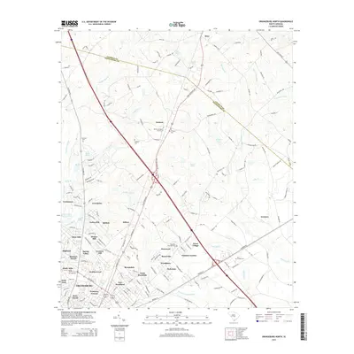
2014 Map of Orangeburg North
USGS Topo · Published 2014About this map
Orangeburg serves as the focal point of this 2014 survey, where the northern residential expansion meets the dense wetlands of the Coastal Plain. The map documents a complex network of established neighborhoods and smaller communities like Brookdale, Hilldale, and New Brookland, which fill the spaces between the major transit corridors. To the north and east, the landscape transitions into a mosaic of drainage systems, including Saddler Swamp and the expansive Four Hole Swamp.
Find a feature on this map
171 named features on this map. Tap any name to fly to it.
Don’t see what you’re looking for? This feature index may not catch every label — zoom into the map to look around manually.
Map Details
Editions of this 2014 Orangeburg North Map
This is the sole edition of this map. No revisions or reprints were ever made.
Other maps of this area

1920 · Bowman
USGS Topo · 1:48,000

1920 · Orangeburg
USGS Topo · 1:48,000

1921 · Orangeburg
USGS Topo · 1:62,500

1921 · Bowman
USGS Topo · 1:62,500

1943 · Bowman
USGS Topo · 1:62,500

1943 · Orangeburg
USGS Topo · 1:125,000

1943 · Orangeburg
USGS Topo · 1:62,500

1946 · Elloree
USGS Topo · 1:62,500

1946 · St. Matthews
USGS Topo · 1:62,500

1954 · Augusta
USGS Topo · 1:250,000