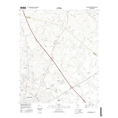
2017 Map of Orangeburg North
USGS Topo · Published 2017About this map
The northern reaches of Orangeburg transition from urban residential blocks into the wetlands and agricultural fields of central South Carolina. This landscape is defined by the proximity of the Calhoun Co line and a network of named swamps and ponds that dictate the local geography. To the east, the extensive Four Hole Swamp and Saddler Swamp create a distinctive riparian border, while the interior is marked by Turkey Hill and smaller water bodies like Zeiglers Pond and Rogers Pond.
Find a feature on this map
161 named features on this map. Tap any name to fly to it.
Don’t see what you’re looking for? This feature index may not catch every label — zoom into the map to look around manually.
Map Details
Editions of this 2017 Orangeburg North Map
This is the sole edition of this map. No revisions or reprints were ever made.
Other maps of this area

1920 · Bowman
USGS Topo · 1:48,000

1920 · Orangeburg
USGS Topo · 1:48,000

1921 · Orangeburg
USGS Topo · 1:62,500

1921 · Bowman
USGS Topo · 1:62,500

1943 · Bowman
USGS Topo · 1:62,500

1943 · Orangeburg
USGS Topo · 1:125,000

1943 · Orangeburg
USGS Topo · 1:62,500

1946 · Elloree
USGS Topo · 1:62,500

1946 · St. Matthews
USGS Topo · 1:62,500

1954 · Augusta
USGS Topo · 1:250,000