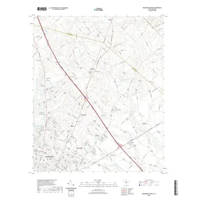
2020 Map of Orangeburg North
USGS Topo · Published 2020About this map
The boundary between Calhoun County and Orangeburg County bisects this landscape of low-lying wetlands and upland settlements. Centered around the northern reaches of Orangeburg, the map documents a transition from the urban periphery to the agricultural and swamp-dense regions of the Lowcountry. Significant institutional presence is found at the Orangeburg Calhoun Technical College, while the surrounding rural landscape is dotted with ancestral landmarks like Mount Carmel Baptist Church Cem and Prospect Cem.
Find a feature on this map
178 named features on this map. Tap any name to fly to it.
Don’t see what you’re looking for? This feature index may not catch every label — zoom into the map to look around manually.
Map Details
Editions of this 2020 Orangeburg North Map
This is the sole edition of this map. No revisions or reprints were ever made.
Other maps of this area

1920 · Bowman
USGS Topo · 1:48,000

1920 · Orangeburg
USGS Topo · 1:48,000

1921 · Orangeburg
USGS Topo · 1:62,500

1921 · Bowman
USGS Topo · 1:62,500

1943 · Bowman
USGS Topo · 1:62,500

1943 · Orangeburg
USGS Topo · 1:125,000

1943 · Orangeburg
USGS Topo · 1:62,500

1946 · Elloree
USGS Topo · 1:62,500

1946 · St. Matthews
USGS Topo · 1:62,500

1954 · Augusta
USGS Topo · 1:250,000