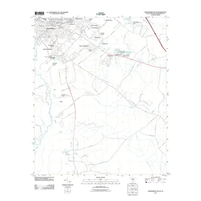
2011 Map of Orangeburg South
USGS Topo · Published 2011About this map
Claflin University and South Carolina State University serve as the intellectual heart of this region, their historic campuses defining the northern cityscape of Orangeburg. The urban footprint extends into residential developments such as Orangeburg Manor, Heritage Subdivision, and the settlement of Quicktown. This layout reflects a period of established institutional growth and suburban expansion south of the traditional city center.
Find a feature on this map
120 named features on this map. Tap any name to fly to it.
Don’t see what you’re looking for? This feature index may not catch every label — zoom into the map to look around manually.
Map Details
Editions of this 2011 Orangeburg South Map
This is the sole edition of this map. No revisions or reprints were ever made.
Other maps of this area

1920 · Bowman
USGS Topo · 1:48,000

1920 · Orangeburg
USGS Topo · 1:48,000

1921 · Orangeburg
USGS Topo · 1:62,500

1921 · Bowman
USGS Topo · 1:62,500

1943 · Bowman
USGS Topo · 1:62,500

1943 · Orangeburg
USGS Topo · 1:125,000

1943 · Orangeburg
USGS Topo · 1:62,500

1946 · Elloree
USGS Topo · 1:62,500

1946 · St. Matthews
USGS Topo · 1:62,500

1954 · Augusta
USGS Topo · 1:250,000