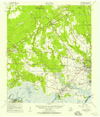
1957 Map of Orangefield
USGS Topo · Published 1958About this map
Orangefield and the surrounding industrial landscape of Orange County are defined by a dense network of waterways and fossil fuel infrastructure during the mid-1950s. The North Port Neches Oil and Gas Field dominates the southern reaches near Bessie Heights, where Gum Island rises above the marshy wetlands. These lowlands are drained by Cow Bayou and Adams Bayou, which channel toward the Neches River and Sabine River systems.
Find a feature on this map
81 named features on this map. Tap any name to fly to it.
Don’t see what you’re looking for? This feature index may not catch every label — zoom into the map to look around manually.
Map Details
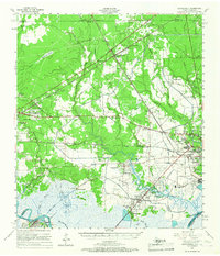
Editions of this 1957 Orangefield Map
2 editions found
Other maps of this area

1926 · Terry
USGS Topo · 1:24,000

1926 · Lakeview
USGS Topo · 1:24,000

1926 · Vidor
USGS Topo · 1:24,000

1926 · Texla
USGS Topo · 1:24,000

1926 · Mauriceville
USGS Topo · 1:24,000

1932 · Beaumont
USGS Topo · 1:62,500

1932 · Orange
USGS Topo · 1:62,500

1932 · Port Arthur NE
USGS Topo · 1:31,680

1934 · Greens Bayou
USGS Topo · 1:24,000

1935 · Greens Bayou
USGS Topo · 1:31,680