2024 Map of Oraville
USGS Topo · Published 2024About this map
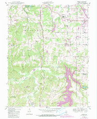
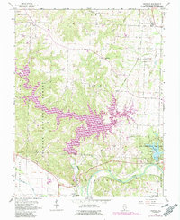
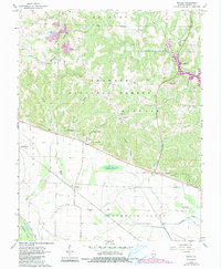
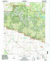
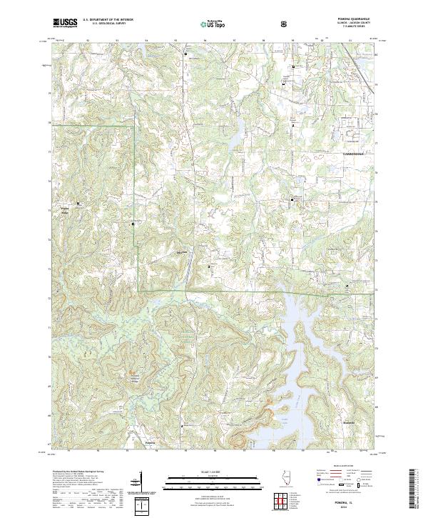
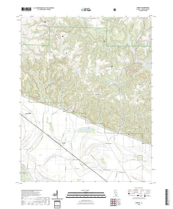
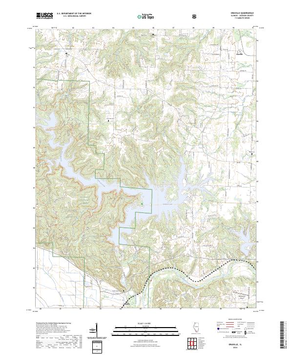
Kinkaid Lake dominates this portion of Jackson County, its irregular shoreline reaching into the protected timberlands of the Shawnee National Forest. The map documents the rural landscape between the settlements of Oraville to the northeast and Grimsby near the southern border. This area is characterized by the convergence of several waterways, including Kinkaid Creek, Camp Creek, and the Big Muddy River, which create a complex drainage system reflected in the winding paths of the Kinkaid Lake Trl. Local genealogy and land use patterns are well-preserved through numerous family-named landmarks and burial grounds. Small cemeteries like Lone Oak Cem, Williamson Cem, and Bartlett Cem are scattered across the uplands, while the Rendleman Airport and Worthen Bayou sit on the flatter terrain to the southeast.
Find a feature on this map
85 named features on this map. Tap any name to fly to it.
Don’t see what you’re looking for? This feature index may not catch every label — zoom into the map to look around manually.
Map Details
Editions of this 2024 Oraville Map
This is the sole edition of this map. No revisions or reprints were ever made.
Historical Maps of Grimsby Through Time
9 maps found