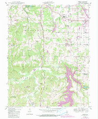
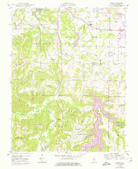
1948 Map of Pomona
USGS Topo · Published 1990About this map
Shawnee National Forest landscapes dominate this mid-century survey, where the rugged terrain of southern Illinois is marked by narrow hollows and high ridges. The settlement of Pomona lies in the southwest, while the Illinois Central Railroad cuts a north-south path through the center, linking the area to nearby Etherton. This 1948 geography reveals a dense network of country schools and churches that served a dispersed rural population, including Rock Hill Sch, Sharon Sch, and Dutch Ridge Ch.
Find a feature on this map
70 named features on this map. Tap any name to fly to it.
Don’t see what you’re looking for? This feature index may not catch every label — zoom into the map to look around manually.
Map Details
Editions of this 1948 Pomona Map
5 editions found
Other maps of this area

1910 · Herrin
USGS Topo · 1:62,500

1910 · Murphysboro
USGS Topo · 1:62,500

1922 · Carbondale
USGS Topo · 1:62,500

1924 · Alto Pass
USGS Topo · 1:62,500

1936 · Herrin
USGS Topo · 1:62,500

1938 · Murphysboro
USGS Topo · 1:62,500

1941 · Carbondale
USGS Topo · 1:62,500

1947 · Alto Pass
USGS Topo · 1:62,500

1947 · Gorham
USGS Topo · 1:24,000
1947 · Wolf Lake
USGS Topo · 1:24,000