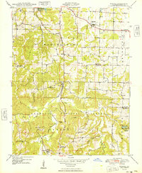
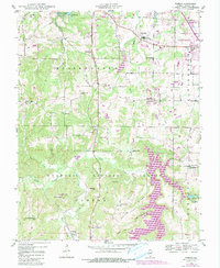
1948 Map of Pomona
USGS Topo · Published 1948About this map
The Mobile and Ohio RR cuts through the rugged creek-carved landscape of southern Illinois, following the course of Cave Valley toward the settlement of Pomona. This 1948 record captures a transition between the established agricultural life of rural townships and the preserved wilderness of the Shawnee National Forest. The map is particularly rich in early educational and community landmarks, documenting numerous local schoolhouses such as Worthen Sch, Sharon Sch, and Ellis Ridge Sch that once served the scattered farmstead families.
Find a feature on this map
61 named features on this map. Tap any name to fly to it.
Don’t see what you’re looking for? This feature index may not catch every label — zoom into the map to look around manually.
Map Details
Editions of this 1948 Pomona Map
5 editions found
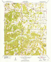
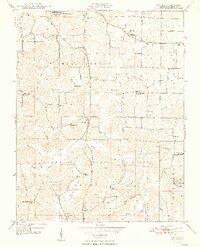
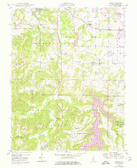
Other maps of this area

1910 · Herrin
USGS Topo · 1:62,500

1910 · Murphysboro
USGS Topo · 1:62,500

1922 · Carbondale
USGS Topo · 1:62,500

1924 · Alto Pass
USGS Topo · 1:62,500

1936 · Herrin
USGS Topo · 1:62,500

1938 · Murphysboro
USGS Topo · 1:62,500

1941 · Carbondale
USGS Topo · 1:62,500

1947 · Alto Pass
USGS Topo · 1:62,500

1947 · Gorham
USGS Topo · 1:24,000
1947 · Wolf Lake
USGS Topo · 1:24,000