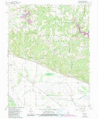
1968 Map of Raddle
USGS Topo · Published 1990About this map
Shawnee National Forest encompasses the rugged hills and creek valleys of this Jackson County survey, showcasing the dramatic transition from wooded uplands to the bottomlands of the Mississippi River floodplain. The landscape is defined by its deep hollows, including Matusky Hollow and Talbott Hollow, which drain toward the newly formed Kinkaid Lake. The map reveals a rural social geography centered on small crossroads and family lineage, evidenced by a high density of burial sites such as Koehn Cem, McBride Cem, and Wilson Cem.
Find a feature on this map
42 named features on this map. Tap any name to fly to it.
Don’t see what you’re looking for? This feature index may not catch every label — zoom into the map to look around manually.
Map Details
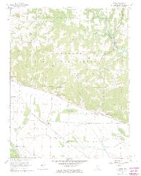
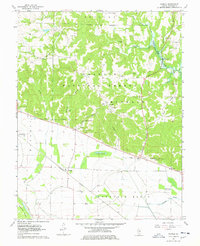
Editions of this 1968 Raddle Map
3 editions found
Other maps of this area

1910 · Murphysboro
USGS Topo · 1:62,500

1916 · Campbell Hill
USGS Topo · 1:62,500

1918 · Altenburg
USGS Topo · 1:62,500

1918 · Campbell Hill
USGS Topo · 1:62,500

1924 · Alto Pass
USGS Topo · 1:62,500

1925 · Altenburg
USGS Topo · 1:62,500

1938 · Murphysboro
USGS Topo · 1:62,500

1947 · Alto Pass
USGS Topo · 1:62,500

1947 · Crosstown
USGS Topo · 1:24,000

1947 · Gorham
USGS Topo · 1:24,000