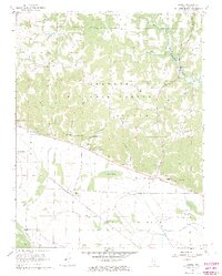
1968 Map of Raddle
USGS Topo · Published 1970About this map
Fountain Bluff rises sharply over the Mississippi River floodplain on this late 1960s survey, marking a distinct geological transition in southern Illinois. The lowlands are defined by the Missouri Pacific railroad line, which passes through the village of Raddle, a settlement situated near Lovets Pond and the extensive levee systems. To the north, the landscape shifts into the deeply dissected terrain of the Shawnee National Forest, where numerous hollows like Logan Hollow and Matusky Hollow provided secluded sites for early community centers such as Logan Hollow Ch.
Find a feature on this map
43 named features on this map. Tap any name to fly to it.
Don’t see what you’re looking for? This feature index may not catch every label — zoom into the map to look around manually.
Map Details
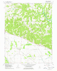
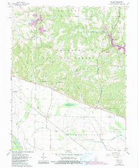
Editions of this 1968 Raddle Map
3 editions found
Other maps of this area

1910 · Murphysboro
USGS Topo · 1:62,500

1916 · Campbell Hill
USGS Topo · 1:62,500

1918 · Altenburg
USGS Topo · 1:62,500

1918 · Campbell Hill
USGS Topo · 1:62,500

1924 · Alto Pass
USGS Topo · 1:62,500

1925 · Altenburg
USGS Topo · 1:62,500

1938 · Murphysboro
USGS Topo · 1:62,500

1947 · Alto Pass
USGS Topo · 1:62,500

1947 · Crosstown
USGS Topo · 1:24,000

1947 · Gorham
USGS Topo · 1:24,000