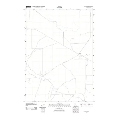
2010 Map of Orchard
USGS Topo · Published 2010About this map
Orchard serves as a central point in this high-desert landscape of Ada County, where a network of access roads and rural routes defines the human presence. The geography is characterized by expansive open spaces segmented by thoroughfares such as S Orchard Access Rd and Range Rd. Smaller settlements like Hickey and the area near Sand Hollow are situated along these transit lines, reflecting a pattern of modern rural development and ranching infrastructure.
Find a feature on this map
11 named features on this map. Tap any name to fly to it.
Don’t see what you’re looking for? This feature index may not catch every label — zoom into the map to look around manually.
Map Details
Editions of this 2010 Orchard Map
This is the sole edition of this map. No revisions or reprints were ever made.
Other maps of this area

1892 · Mountain Home
USGS Topo · 1:125,000

1892 · Bisuka
USGS Topo · 1:125,000

1893 · Mountain Home
USGS Topo · 1:125,000

1894 · Bisuka
USGS Topo · 1:125,000

1948 · Big Foot Butte
USGS Topo · 1:24,000

1948 · Big Foot Butte
USGS Topo · 1:62,500

1948 · Little Joe Butte
USGS Topo · 1:24,000

1949 · Little Joe Butte
USGS Topo · 1:24,000

1955 · Christmas Mtn
USGS Topo · 1:24,000

1955 · Orchard
USGS Topo · 1:24,000