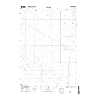
2013 Map of Orchard
USGS Topo · Published 2013About this map
Orchard and Hickey anchor this portion of Ada County, where the landscape is defined by a network of rural access roads and intermittent watercourses. The infrastructure of the area is mapped through thoroughfares like S Orchard Ranch Rd and E Monroe Ave, which crisscross the high desert terrain. The topography is marked by significant drainages such as Bowns Cr and the distinct geographic feature of Sand Hollow. This 2013 survey illustrates a region largely characterized by large land parcels and specialized road networks, including Range Rd and S Range Rd, reflecting the area's agricultural and ranching foundations. The layout suggests a pattern of sparse settlement where transportation routes follow the natural contours of the Idaho landscape.
Find a feature on this map
16 named features on this map. Tap any name to fly to it.
Don’t see what you’re looking for? This feature index may not catch every label — zoom into the map to look around manually.
Map Details
Editions of this 2013 Orchard Map
This is the sole edition of this map. No revisions or reprints were ever made.
Other maps of this area
1892 · Mountain Home
USGS Topo · 1:125,000
1892 · Bisuka
USGS Topo · 1:125,000
1893 · Mountain Home
USGS Topo · 1:125,000
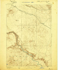
1894 · Bisuka
USGS Topo · 1:125,000
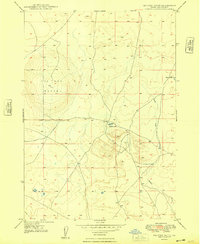
1948 · Big Foot Butte
USGS Topo · 1:24,000
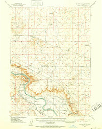
1948 · Big Foot Butte
USGS Topo · 1:62,500
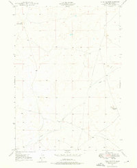
1948 · Little Joe Butte
USGS Topo · 1:24,000
1949 · Little Joe Butte
USGS Topo · 1:24,000
1955 · Christmas Mtn
USGS Topo · 1:24,000
1955 · Orchard
USGS Topo · 1:24,000