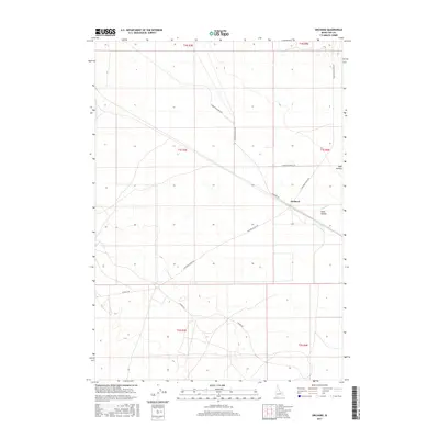
2017 Map of Orchard
USGS Topo · Published 2017About this map
Orchard serves as the central hub of this Ada County landscape, where the high desert terrain of southern Idaho is defined by its transit and range infrastructure. The map reveals a transition between the open livestock ranges and the transport corridors that parallel Sand Hollow. Notable water features are scarce, though Bowns Cr provides a primary drainage through the eastern portion of the sheet. The landscape is crisscrossed by an extensive network of access routes, including W Range Rd and S Range Rd, illustrating the intersection of modern land management and historical ranching patterns. This 2017 survey captures the area at a time when industrial and military range uses frequently interface with traditional grazing lands, providing a clear picture of the modern-day infrastructure required to navigate the high plains south of the Boise area.
Find a feature on this map
17 named features on this map. Tap any name to fly to it.
Don’t see what you’re looking for? This feature index may not catch every label — zoom into the map to look around manually.
Map Details
Editions of this 2017 Orchard Map
This is the sole edition of this map. No revisions or reprints were ever made.
Other maps of this area
1892 · Mountain Home
USGS Topo · 1:125,000
1892 · Bisuka
USGS Topo · 1:125,000
1893 · Mountain Home
USGS Topo · 1:125,000
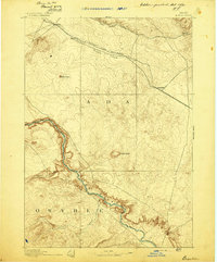
1894 · Bisuka
USGS Topo · 1:125,000
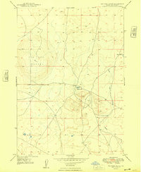
1948 · Big Foot Butte
USGS Topo · 1:24,000
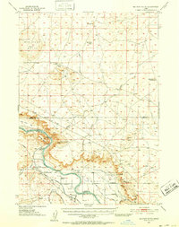
1948 · Big Foot Butte
USGS Topo · 1:62,500
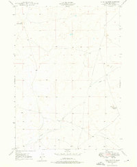
1948 · Little Joe Butte
USGS Topo · 1:24,000
1949 · Little Joe Butte
USGS Topo · 1:24,000
1955 · Christmas Mtn
USGS Topo · 1:24,000
1955 · Orchard
USGS Topo · 1:24,000