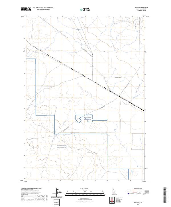
2023 Map of Orchard
USGS Topo · Published 2023About this map
The settlement of Orchard serves as the focal point for this section of Ada County, positioned near the intersection of several regional thoroughfares including E Monroe Rd and E Orchard Ranch Ln. This high desert landscape is defined by its military utility and drainage patterns, most notably the Orchard Combat Training Center which occupies a significant portion of the southern territory. The map reveals a structured grid of access roads such as S Orchard Access Rd and W Range Rd, designed to navigate the expansive terrain between the military installations and the northern ranching corridors.
Find a feature on this map
19 named features on this map. Tap any name to fly to it.
Don’t see what you’re looking for? This feature index may not catch every label — zoom into the map to look around manually.
Map Details
Editions of this 2023 Orchard Map
This is the sole edition of this map. No revisions or reprints were ever made.
Other maps of this area

1892 · Mountain Home
USGS Topo · 1:125,000

1892 · Bisuka
USGS Topo · 1:125,000

1893 · Mountain Home
USGS Topo · 1:125,000

1894 · Bisuka
USGS Topo · 1:125,000

1948 · Big Foot Butte
USGS Topo · 1:24,000

1948 · Big Foot Butte
USGS Topo · 1:62,500

1948 · Little Joe Butte
USGS Topo · 1:24,000

1949 · Little Joe Butte
USGS Topo · 1:24,000

1955 · Christmas Mtn
USGS Topo · 1:24,000

1955 · Orchard
USGS Topo · 1:24,000