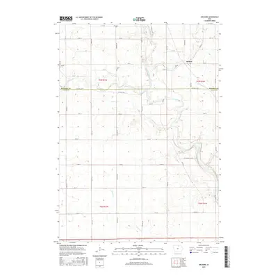
2015 Map of Orchard
USGS Topo · Published 2015About this map
The Cedar River serves as the central geographic anchor for this portion of Northern Iowa, carving a winding path through the borderlands between Mitchell and Floyd Counties. The small settlement of Orchard sits on the eastern heights above the river, supported by a network of rural roads such as Orchard Rd and River Rd. This landscape is primarily defined by its agricultural grid and the numerous small tributaries that feed into the main river channel, including Spring Cr, Rock Creek, and the aptly named Sunken Cr.
Find a feature on this map
31 named features on this map. Tap any name to fly to it.
Don’t see what you’re looking for? This feature index may not catch every label — zoom into the map to look around manually.
Map Details
Editions of this 2015 Orchard Map
This is the sole edition of this map. No revisions or reprints were ever made.
Other maps of this area

1954 · Mason City
USGS Topo · 1:250,000

1957 · Mason City
USGS Topo · 1:250,000

1958 · Mason City
USGS Topo · 1:250,000
1971 · Rockford
USGS Topo · 1:24,000
1971 · Orchard
USGS Topo · 1:24,000
1971 · Rudd
USGS Topo · 1:24,000
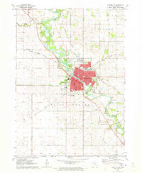
1971 · Charles City
USGS Topo · 1:24,000
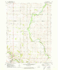
1971 · Floyd
USGS Topo · 1:24,000
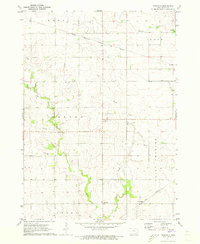
1971 · Roseville
USGS Topo · 1:24,000
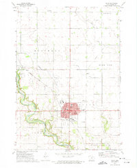
1972 · Osage
USGS Topo · 1:24,000