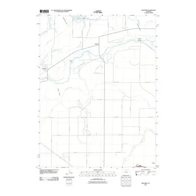
2010 Map of Orchard
USGS Topo · Published 2010About this map
The South Platte River dictates the layout and economy of this northeastern Colorado landscape, where the small communities of Orchard and Goodrich sit amidst a sophisticated network of water management. Large-scale irrigation is evident through features like the Weldon Valley Ditch, Putman Irrigation Ditch, and the Fort Morgan Canal, which draws from the river at the Fort Morgan Canal Headgate. This infrastructure supports the agricultural fields that dominate the terrain between the river and the northern Jackson Reservoir.
Find a feature on this map
40 named features on this map. Tap any name to fly to it.
Don’t see what you’re looking for? This feature index may not catch every label — zoom into the map to look around manually.
Map Details
Editions of this 2010 Orchard Map
This is the sole edition of this map. No revisions or reprints were ever made.
Other maps of this area

1950 · Wiggins
USGS Topo · 1:24,000

1950 · Greasewood Lake
USGS Topo · 1:24,000

1950 · Masters
USGS Topo · 1:24,000

1951 · Masters
USGS Topo · 1:24,000

1951 · Weldona
USGS Topo · 1:24,000

1951 · Orchard
USGS Topo · 1:24,000

1951 · Sunken Lake
USGS Topo · 1:24,000

1951 · Omar
USGS Topo · 1:24,000

1951 · Judson Hills
USGS Topo · 1:24,000

1954 · Sterling
USGS Topo · 1:250,000