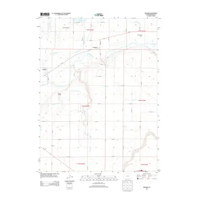
2013 Map of Orchard
USGS Topo · Published 2013About this map
The S Platte River meanders through this agricultural section of Morgan County, Colorado, defining a landscape shaped by early 21st-century water management. The small settlements of Orchard and Goodrich anchor the northern half of the sheet, connected by Co-144 and surrounded by a complex network of man-made waterways. Significant infrastructure such as the Weldon Valley Ditch, Bijou Canal, and Putman Irrigation Ditch illustrate the vital importance of irrigation to the local plains economy.
Find a feature on this map
51 named features on this map. Tap any name to fly to it.
Don’t see what you’re looking for? This feature index may not catch every label — zoom into the map to look around manually.
Map Details
Editions of this 2013 Orchard Map
This is the sole edition of this map. No revisions or reprints were ever made.
Other maps of this area
1950 · Wiggins
USGS Topo · 1:24,000
1950 · Greasewood Lake
USGS Topo · 1:24,000
1950 · Masters
USGS Topo · 1:24,000
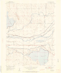
1951 · Masters
USGS Topo · 1:24,000
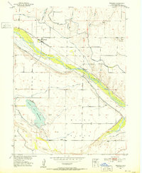
1951 · Weldona
USGS Topo · 1:24,000
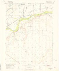
1951 · Orchard
USGS Topo · 1:24,000
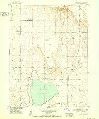
1951 · Sunken Lake
USGS Topo · 1:24,000
1951 · Omar
USGS Topo · 1:24,000
1951 · Judson Hills
USGS Topo · 1:24,000
1954 · Sterling
USGS Topo · 1:250,000