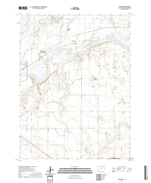
2022 Map of Orchard
USGS Topo · Published 2022About this map
The South Platte River winds through this Morgan County landscape, anchoring a complex system of water management essential to the high plains. The small settlements of Orchard and Goodrich are situated near the riverbanks, serving as focal points for the surrounding agricultural network. This 2022 survey illustrates the critical role of irrigation, detailing the Riverside Intake Canal, Weldon Valley Ditch, and Putman Irrigation Ditch as they divert water from the river to the dry upland fields.
Find a feature on this map
43 named features on this map. Tap any name to fly to it.
Don’t see what you’re looking for? This feature index may not catch every label — zoom into the map to look around manually.
Map Details
Editions of this 2022 Orchard Map
This is the sole edition of this map. No revisions or reprints were ever made.
Other maps of this area

1950 · Wiggins
USGS Topo · 1:24,000

1950 · Greasewood Lake
USGS Topo · 1:24,000

1950 · Masters
USGS Topo · 1:24,000

1951 · Masters
USGS Topo · 1:24,000

1951 · Weldona
USGS Topo · 1:24,000

1951 · Orchard
USGS Topo · 1:24,000

1951 · Sunken Lake
USGS Topo · 1:24,000

1951 · Omar
USGS Topo · 1:24,000

1951 · Judson Hills
USGS Topo · 1:24,000

1954 · Sterling
USGS Topo · 1:250,000