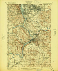
1914 Map of Oregon City
USGS Topo · Published 1920About this map
Oregon City and the surrounding Clackamas County landscape are captured here at a pivotal moment of early 20th-century development. The industrial and geographical heart of the region centers on the Willamette River and the powerful Willamette Falls, which historically drove the local economy. The map illustrates a dense network of early schools and rural landings, including Ottawa Ldg and Shanks Ldg, reflecting a time when river transport and local rail lines like the Southern Pacific were essential for moving people and timber.
Find a feature on this map
81 named features on this map. Tap any name to fly to it.
Don’t see what you’re looking for? This feature index may not catch every label — zoom into the map to look around manually.
Map Details
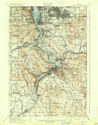
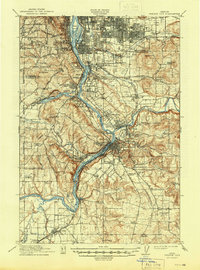
Editions of this 1914 Oregon City Map
4 editions found
Other maps of this area

1897 · Portland
USGS Topo · 1:62,500

1905 · Portland
USGS Topo · 1:62,500

1911 · Boring
USGS Topo · 1:48,000

1914 · Boring
USGS Topo · 1:62,500

1914 · Oregon City
USGS Topo · 1:62,500

1915 · Hillsboro
USGS Topo · 1:62,500

1916 · Tualatin
USGS Topo · 1:62,500

1916 · Estacada
USGS Topo · 1:125,000

1918 · Hillsboro
USGS Topo · 1:62,500

1918 · Troutdale
USGS Topo · 1:62,500