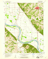
1959 Map of Oregon
USGS Topo · Published 1960About this map
Forest City and the county seat of Oregon anchor this late-1950s survey of the Missouri River valley where Missouri and Kansas meet. The landscape is defined by the heavy meanders of the Missouri River, which forms the border between Holt County and Doniphan County. Transportation and industry are centered on the Chicago Burlington and Quincy railroad line, which tracks along the base of the river bluffs near Forest City.
Find a feature on this map
26 named features on this map. Tap any name to fly to it.
Don’t see what you’re looking for? This feature index may not catch every label — zoom into the map to look around manually.
Map Details
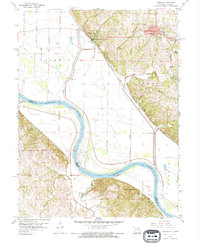
Editions of this 1959 Oregon Map
2 editions found
Other maps of this area

1885 · Atchison
USGS Topo · 1:125,000

1888 · Atchison
USGS Topo · 1:125,000

1893 · Atchison
USGS Topo · 1:125,000

1920 · Craig
USGS Topo · 1:62,500

1926 · Oregon
USGS Topo · 1:62,500

1926 · Maitland
USGS Topo · 1:62,500

1950 · Kansas City
USGS Topo · 1:250,000

1954 · Kansas City
USGS Topo · 1:250,000

1955 · Nebraska City
USGS Topo · 1:250,000

1956 · Kansas City
USGS Topo · 1:250,000