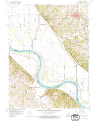
1959 Map of Oregon
USGS Topo · Published 1975About this map
The Missouri River cuts a wide, meandering path through this borderland region, defining the boundary between Missouri and Kansas. On the Missouri side, the bluff-top community of Oregon sits high above the river bottom, adjacent to Welty Park and a local Cemetery. Below the bluffs, the Chicago Burlington and Quincy railroad line skirts the edge of the floodplain, connecting Forest City to the surrounding rail network. The landscape is a study in contrasts between the flat, levee-protected agricultural lands of the Forest township and the dissected loess hills to the east.
Find a feature on this map
29 named features on this map. Tap any name to fly to it.
Don’t see what you’re looking for? This feature index may not catch every label — zoom into the map to look around manually.
Map Details
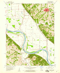
Editions of this 1959 Oregon Map
2 editions found
Other maps of this area

1885 · Atchison
USGS Topo · 1:125,000

1888 · Atchison
USGS Topo · 1:125,000

1893 · Atchison
USGS Topo · 1:125,000

1920 · Craig
USGS Topo · 1:62,500

1926 · Oregon
USGS Topo · 1:62,500

1926 · Maitland
USGS Topo · 1:62,500

1950 · Kansas City
USGS Topo · 1:250,000

1954 · Kansas City
USGS Topo · 1:250,000

1955 · Nebraska City
USGS Topo · 1:250,000

1956 · Kansas City
USGS Topo · 1:250,000