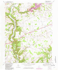
1968 Map of Oregonia
USGS Topo · Published 1982About this map
The Fort Ancient State Memorial anchor this landscape, preserving significant archeological features including Stone Circles, Burial Mounds, and a local Museum overlooking the Little Miami River. This river corridor serves as a focal point for recreation and transport, flanked by the Conrail line and several organized campgrounds like Camp Kern and Camp Swoneky. Further north, the terrain transitions into the nascent Caesar Creek State Park, where steep ravines carved by Caesar Creek and its tributaries like Jonah Run meet the agricultural plateaus of Wayne and Massie townships.
Find a feature on this map
71 named features on this map. Tap any name to fly to it.
Don’t see what you’re looking for? This feature index may not catch every label — zoom into the map to look around manually.
Map Details
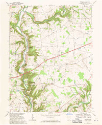
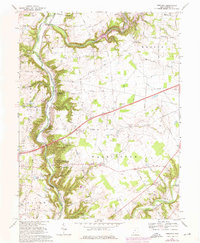
Editions of this 1968 Oregonia Map
3 editions found
Other maps of this area

1907 · Blanchester
USGS Topo · 1:62,500

1913 · Waynesville
USGS Topo · 1:62,500

1914 · Morrow
USGS Topo · 1:62,500

1915 · Waynesville
USGS Topo · 1:62,500

1916 · Morrow
USGS Topo · 1:62,500

1917 · Xenia
USGS Topo · 1:62,500

1947 · Columbus
USGS Topo · 1:250,000

1953 · Cincinnati
USGS Topo · 1:250,000

1955 · New Burlington
USGS Topo · 1:24,000
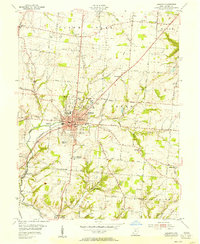
1955 · Lebanon
USGS Topo · 1:24,000