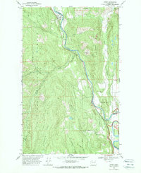
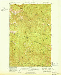
1969 Map of Orient
USGS Topo · Published 1972About this map
Kettle River defines the corridor of this 1969 survey, tracing the border of Stevens and Ferry counties through the northern reaches of the Colville National Forest. The landscape is a study in early Washington industrial history, where the Burlington Northern railroad runs parallel to the water, connecting the small riverside settlements of Orient, Dulwich, and Barstow. This era shows a transition from active resource extraction to federal land management, as the southern portion of the sheet integrates into the Coulee Dam National Recreation Area.
Find a feature on this map
34 named features on this map. Tap any name to fly to it.
Don’t see what you’re looking for? This feature index may not catch every label — zoom into the map to look around manually.
Map Details
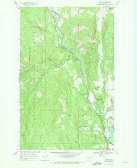
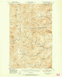
Editions of this 1969 Orient Map
2 editions found
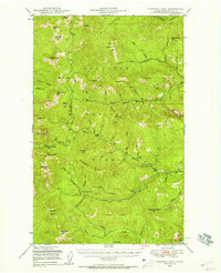
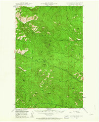
Other maps of this area

1936 · Marcus
USGS Topo · 1:96,000

1942 · Marcus
USGS Topo · 1:125,000
1948 · Sherman Peak
USGS Topo · 1:62,500

1948 · Kettle Falls
USGS Topo · 1:62,500

1948 · Orient
USGS Topo · 1:62,500
1948 · Togo Mountain
USGS Topo · 1:62,500
1951 · Togo Mountain
USGS Topo · 1:62,500
1951 · Sherman Peak
USGS Topo · 1:62,500

1951 · Orient
USGS Topo · 1:62,500
1951 · Kettle Falls
USGS Topo · 1:62,500