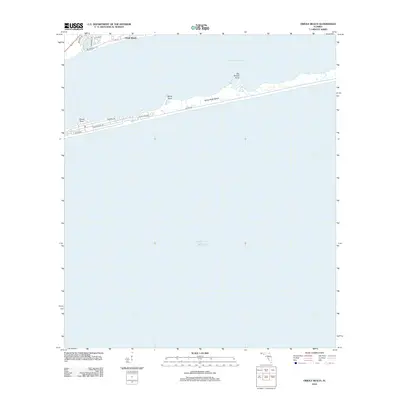
2012 Map of Oriole Beach
USGS Topo · Published 2012About this map
Oriole Beach stands on the northern shore of the Santa Rosa Sound, a narrow waterway separating the mainland from the barrier system of Santa Rosa Island. This 2012 survey illustrates the coastal development patterns along US Hwy 98 and the residential street grids of the island, including Via De Luna Dr and Ariola Dr. The island’s interior remains dominated by its natural coastal geography, defined by prominent features like Big Sabine Point, Range Point, and Sharp Point. Beyond the primary dune lines, the map reveals the transition into the open Gulf of Mexico. The layout of local thoroughfares such as Lido Blvd and Coronado Dr reflects the modern expansion of this Santa Rosa County waterfront community.
Find a feature on this map
18 named features on this map. Tap any name to fly to it.
Don’t see what you’re looking for? This feature index may not catch every label — zoom into the map to look around manually.
Map Details
Editions of this 2012 Oriole Beach Map
This is the sole edition of this map. No revisions or reprints were ever made.
Other maps of this area

1921 · Holley
USGS Topo · 1:62,500

1921 · Pensacola
USGS Topo · 1:62,500

1936 · Holley
USGS Topo · 1:48,000

1938 · Holley
USGS Topo · 1:62,500

1941 · Pensacola
USGS Topo · 1:62,500

1942 · Pensacola
USGS Topo · 1:62,500
1944 · Oriole Beach
USGS Topo · 1:25,000

1944 · Gulf Breeze
USGS Topo · 1:25,000
1944 · Garcon Point
USGS Topo · 1:25,000
1944 · Pensacola
USGS Topo · 1:25,000