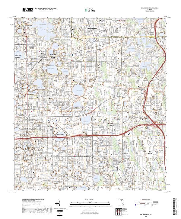
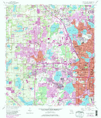
2024 Map of Orlando East
USGS Topo · Published 2024About this map
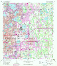
The dense lacustrine landscape of central Florida is strikingly evident here, defined by a chain of water bodies including Lake Maitland, Lake Osceola, and Lake Virginia. These lakes anchor the established communities of Winter Park and Maitland, where the shoreline is shared by academic institutions like Rollins College and several historic burial grounds such as Palm Cem and the Rollins College Memorial Cem. The map reveals a highly developed urban corridor stretching from Orlando toward Casselberry, characterized by an extensive network of specialized campuses like Full Sail University and the Valencia College - School of Public Safety.
Find a feature on this map
124 named features on this map. Tap any name to fly to it.
Don’t see what you’re looking for? This feature index may not catch every label — zoom into the map to look around manually.
Map Details
Editions of this 2024 Orlando East Map
This is the sole edition of this map. No revisions or reprints were ever made.
Historical Maps of Bertha Through Time
16 maps found
1953 Lake Jessamine
Orange County, FL
1953 Lake Poinsett NW
Orange County, FL
1953 Narcoossee NE
Orange County, FL
1953 Narcoossee NW
Orange County, FL
1953 Oviedo SW
Orange County, FL
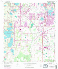
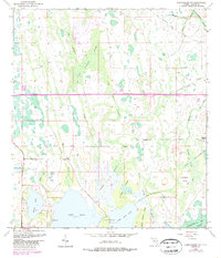
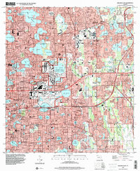
1956 Orlando East
Orange County, FL
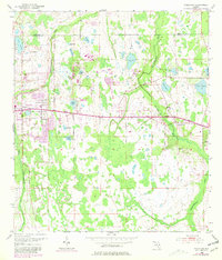
1956 Orlando West
Orange County, FL
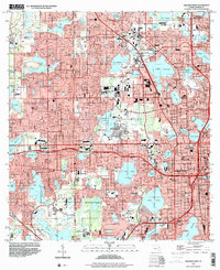
1994 Orlando East
Orange County, FL
1995 Orlando West
Orange County, FL
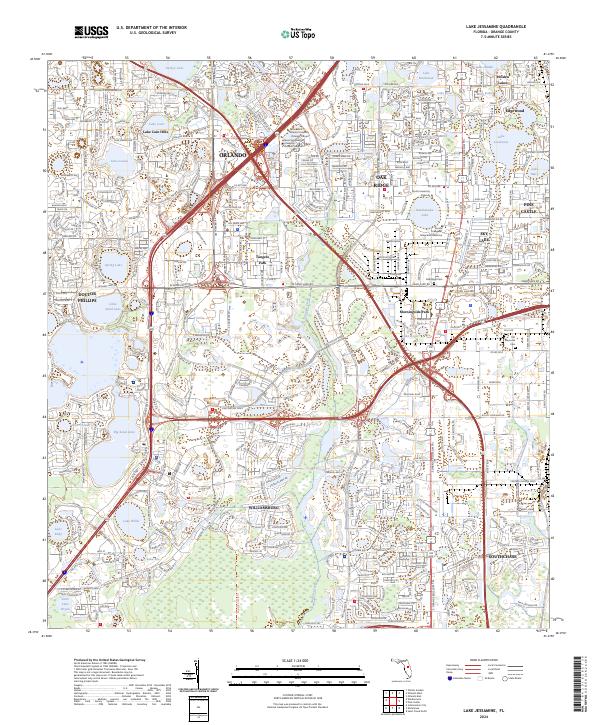
2024 Lake Jessamine
Orange County, FL
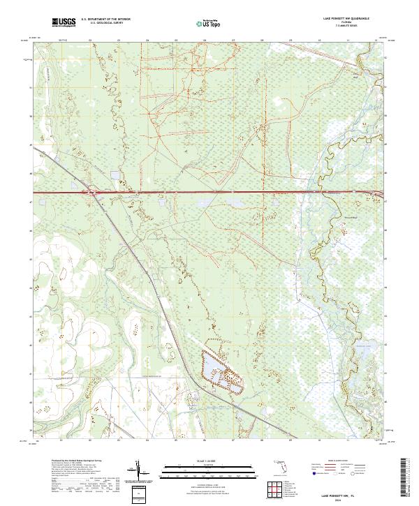
2024 Lake Poinsett NW
Orange County, FL
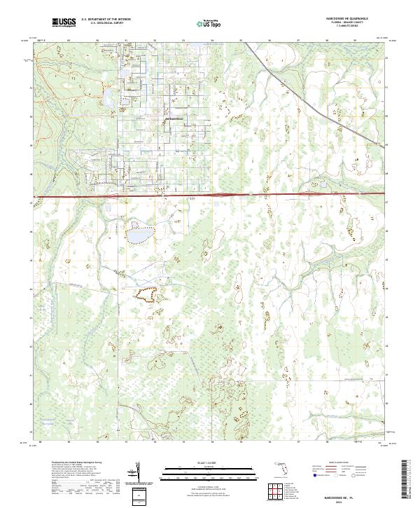
2024 Narcoossee NE
Orange County, FL
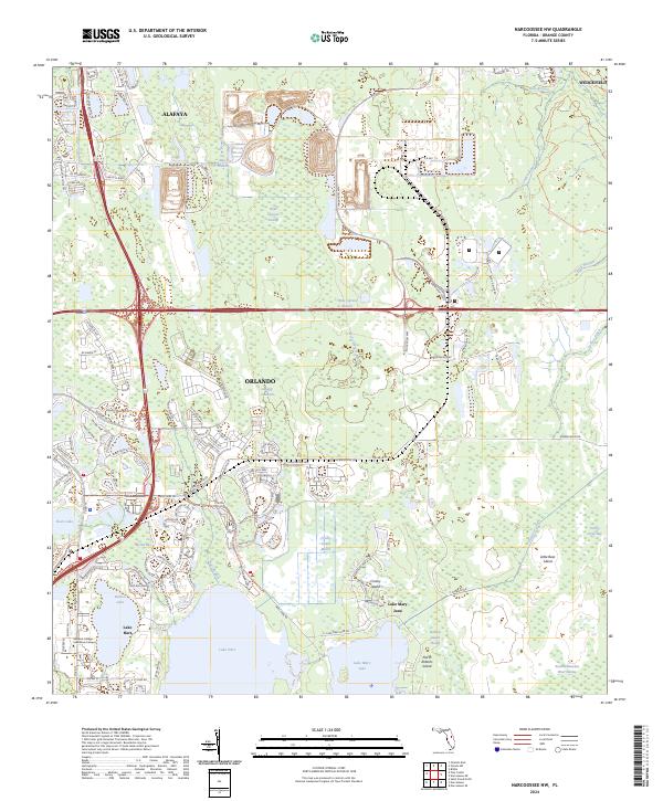
2024 Narcoossee NW
Orange County, FL
2024 Orlando East
Orange County, FL
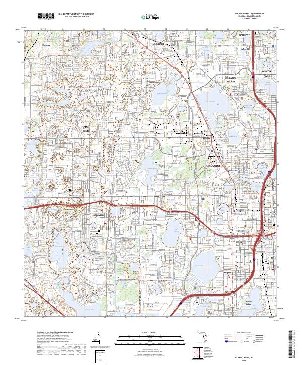
2024 Orlando West
Orange County, FL
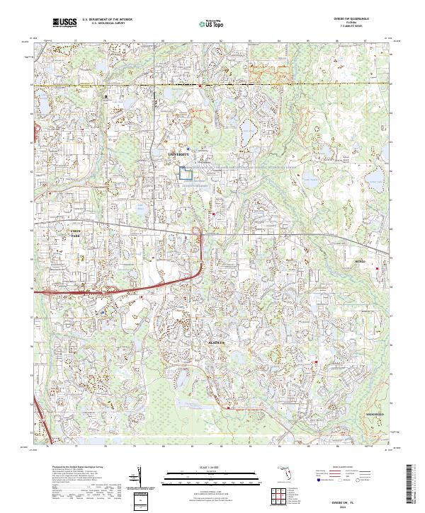
2024 Oviedo SW
Orange County, FL