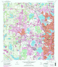
1956 Map of Orlando West
USGS Topo · Published 1981About this map
The expanding Orlando metropolitan area is captured here during a period of mid-century suburbanization and transit development. The western fringes of the city reveal a landscape defined by its many lakes, from the large Lake Fairview to smaller bodies like Lake Sparling and Lake Wekiva. This 1956 survey, updated with 1980 revisions, shows the emergence of significant transportation corridors, most notably the Sunshine State Parkway (Toll Road) cutting through the western terrain. Local history is anchored by the historic town of Eatonville in the northeast and smaller communities like Lockhart and Clarcona. The map reveals a high concentration of educational and civic institutions, such as Edgewater High School and Jones High School, alongside specialized facilities including the Central Florida Hospital and a Prison Farm. This document illustrates the shift from citrus groves and claypits toward the integrated residential and commercial hub of modern Central Florida.
Find a feature on this map
99 named features on this map. Tap any name to fly to it.
Don’t see what you’re looking for? This feature index may not catch every label — zoom into the map to look around manually.
Map Details
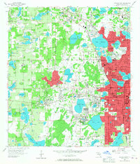
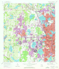
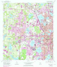
Editions of this 1956 Orlando West Map
5 editions found
Other maps of this area

1953 · Lake Jessamine
USGS Topo · 1:24,000

1953 · Pine Castle
USGS Topo · 1:24,000

1953 · Windermere
USGS Topo · 1:24,000

1955 · Orlando
USGS Topo · 1:250,000

1956 · Winter Garden
USGS Topo · 1:24,000

1956 · Orlando West
USGS Topo · 1:24,000

1956 · Orlando East
USGS Topo · 1:24,000

1957 · Orlando
USGS Topo · 1:250,000

1958 · Orlando
USGS Topo · 1:250,000

1959 · Forest City
USGS Topo · 1:24,000