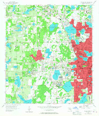
1956 Map of Orlando West
USGS Topo · Published 1967About this map
Orlando expands westward in the mid-1950s, revealing a landscape defined by its high density of lakes and the emerging suburban footprint of Pine Hills and Orlovista. The eastern edge of the map shows the established city core, with landmark buildings like City Hall and institutional anchors such as Bishop Moore High Sch and Edgewater High Sch. The industrial and transportation backbone of the era is represented by the Atlantic Coast Line and the Seaboard Air Line Railroad, which skirt the northern orange groves and clay pits.
Find a feature on this map
126 named features on this map. Tap any name to fly to it.
Don’t see what you’re looking for? This feature index may not catch every label — zoom into the map to look around manually.
Map Details
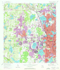
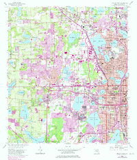
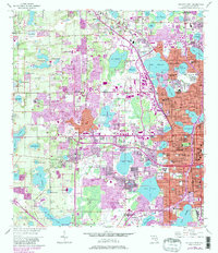
Editions of this 1956 Orlando West Map
5 editions found
Other maps of this area

1953 · Lake Jessamine
USGS Topo · 1:24,000

1953 · Pine Castle
USGS Topo · 1:24,000

1953 · Windermere
USGS Topo · 1:24,000

1955 · Orlando
USGS Topo · 1:250,000

1956 · Winter Garden
USGS Topo · 1:24,000

1956 · Orlando West
USGS Topo · 1:24,000

1956 · Orlando East
USGS Topo · 1:24,000

1957 · Orlando
USGS Topo · 1:250,000

1958 · Orlando
USGS Topo · 1:250,000

1959 · Forest City
USGS Topo · 1:24,000