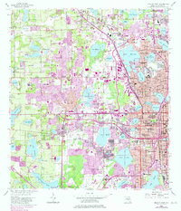
1956 Map of Orlando West
USGS Topo · Published 1981About this map
Orlando and its western outskirts show rapid mid-century expansion in this survey, where the developing residential tracts of Pine Hills and Fairview Shores meet a landscape dense with freshwater lakes. The map documents a transition from agricultural and open land toward a suburban lakefront lifestyle, centered around bodies of water like Lake Wekiva, Lake Hiawassee, and Lake Fairview. Important community institutions of the era are well-represented, including the Central Florida Hospital, Bishop Moore High Sch, and the historic Eatonville settlement.
Find a feature on this map
107 named features on this map. Tap any name to fly to it.
Don’t see what you’re looking for? This feature index may not catch every label — zoom into the map to look around manually.
Map Details
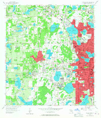
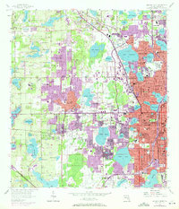
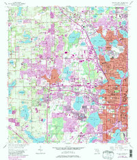
Editions of this 1956 Orlando West Map
5 editions found
Other maps of this area

1953 · Lake Jessamine
USGS Topo · 1:24,000

1953 · Pine Castle
USGS Topo · 1:24,000

1953 · Windermere
USGS Topo · 1:24,000

1955 · Orlando
USGS Topo · 1:250,000

1956 · Winter Garden
USGS Topo · 1:24,000

1956 · Orlando West
USGS Topo · 1:24,000

1956 · Orlando East
USGS Topo · 1:24,000

1957 · Orlando
USGS Topo · 1:250,000

1958 · Orlando
USGS Topo · 1:250,000

1959 · Forest City
USGS Topo · 1:24,000