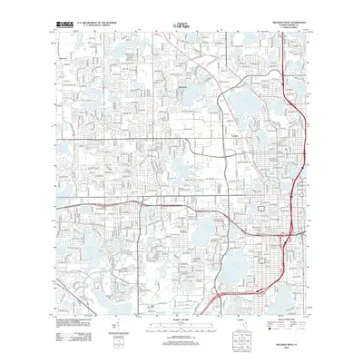
2012 Map of Orlando West
USGS Topo · Published 2012About this map
Lake Hiawassee and Lake Wekiva anchor this densely developed landscape in Western Orlando, where suburban expansion has integrated numerous smaller water bodies into the local geography. The map documents a transition from established communities like Clarcona and Fairvilla toward modern institutional centers. Major land uses include the Valencia Community College - West Campus and the Central Florida Fairgrounds, illustrating the area's role as a regional hub for education and public events. Genealogists and local historians will find significant detail in the memorial sites across the quadrangle, including Woodlawn Memorial Park, Doctor Phillips Cemetery, and Washington Park Cemetery. The intricate network of residential streets, such as Sunshine Street and Indian Hill Road, reflects the post-war housing boom that transformed the orange groves and pine woods into the sprawling neighborhoods of Rosemont and beyond.
Find a feature on this map
233 named features on this map. Tap any name to fly to it.
Don’t see what you’re looking for? This feature index may not catch every label — zoom into the map to look around manually.
Map Details
Editions of this 2012 Orlando West Map
This is the sole edition of this map. No revisions or reprints were ever made.
Other maps of this area

1953 · Lake Jessamine
USGS Topo · 1:24,000

1953 · Pine Castle
USGS Topo · 1:24,000

1953 · Windermere
USGS Topo · 1:24,000

1955 · Orlando
USGS Topo · 1:250,000

1956 · Winter Garden
USGS Topo · 1:24,000

1956 · Orlando West
USGS Topo · 1:24,000

1956 · Orlando East
USGS Topo · 1:24,000

1957 · Orlando
USGS Topo · 1:250,000

1958 · Orlando
USGS Topo · 1:250,000

1959 · Forest City
USGS Topo · 1:24,000