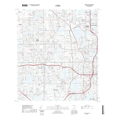
2018 Map of Orlando West
USGS Topo · Published 2018About this map
Eatonville, one of the first self-governing all-black municipalities in the country, sits in the northeastern corner of this 2018 survey. The landscape is defined by its immense density of water bodies, where residential neighborhoods like Pine Hills and Orlovista are woven around dozens of named lakes, including the large Lake Hiawassee and Turkey Lake. This urban-lake pattern reflects the intensive mid-century and modern development of Orange County, where former citrus groves and wetlands were converted into suburban communities and commercial corridors like W Colonial Dr.
Find a feature on this map
93 named features on this map. Tap any name to fly to it.
Don’t see what you’re looking for? This feature index may not catch every label — zoom into the map to look around manually.
Map Details
Editions of this 2018 Orlando West Map
This is the sole edition of this map. No revisions or reprints were ever made.
Other maps of this area

1953 · Lake Jessamine
USGS Topo · 1:24,000

1953 · Pine Castle
USGS Topo · 1:24,000

1953 · Windermere
USGS Topo · 1:24,000

1955 · Orlando
USGS Topo · 1:250,000

1956 · Winter Garden
USGS Topo · 1:24,000

1956 · Orlando West
USGS Topo · 1:24,000

1956 · Orlando East
USGS Topo · 1:24,000

1957 · Orlando
USGS Topo · 1:250,000

1958 · Orlando
USGS Topo · 1:250,000

1959 · Forest City
USGS Topo · 1:24,000