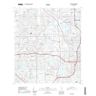
2021 Map of Orlando West
USGS Topo · Published 2021About this map
Orlando and its western suburbs appear here as a dense network of residential streets and arterial corridors woven around the region’s signature glacial-carved lakes. The map documents the urban development of Pine Hills, Orlovista, and Rosemont, where neighborhoods are defined by water bodies like Lake Hiawassee, Lake Steer, and Lake Fairview. This 2021 survey provides significant genealogical and institutional detail, locating specific sacred spaces such as Washington Park Cem and the First Presbyterian Church Columbarium.
Find a feature on this map
89 named features on this map. Tap any name to fly to it.
Don’t see what you’re looking for? This feature index may not catch every label — zoom into the map to look around manually.
Map Details
Editions of this 2021 Orlando West Map
This is the sole edition of this map. No revisions or reprints were ever made.
Other maps of this area

1953 · Lake Jessamine
USGS Topo · 1:24,000

1953 · Pine Castle
USGS Topo · 1:24,000

1953 · Windermere
USGS Topo · 1:24,000

1955 · Orlando
USGS Topo · 1:250,000

1956 · Winter Garden
USGS Topo · 1:24,000

1956 · Orlando West
USGS Topo · 1:24,000

1956 · Orlando East
USGS Topo · 1:24,000

1957 · Orlando
USGS Topo · 1:250,000

1958 · Orlando
USGS Topo · 1:250,000

1959 · Forest City
USGS Topo · 1:24,000