2024 Map of Orlando West
USGS Topo · Published 2024About this map
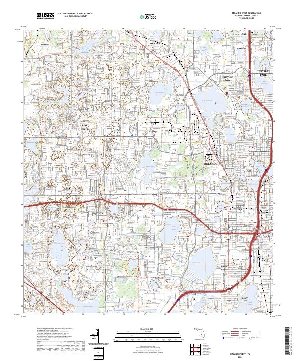
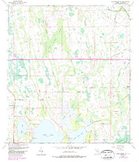
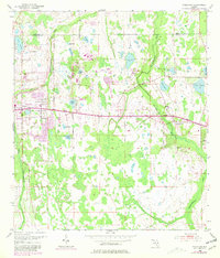
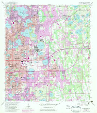
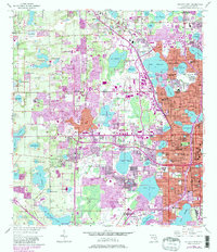
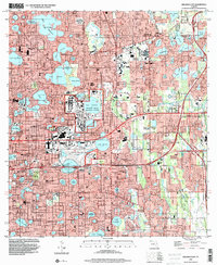
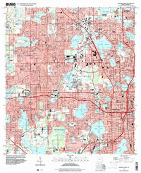
Eatonville and its neighbors north of Orlando appear in this detailed survey, showcasing the dense network of water bodies and urban expansion in central Orange County. The map provides a look at the historical layout of Holden Heights and Fairview Shores, including institutional landmarks like the Orange County Courthouse and the University of Central Florida Connect Valencia West. The presence of the Florida Central RR and major thoroughfares such as Silver Star Rd and W Colonial Dr highlights the area's development as a regional transportation hub.
Find a feature on this map
102 named features on this map. Tap any name to fly to it.
Don’t see what you’re looking for? This feature index may not catch every label — zoom into the map to look around manually.
Map Details
Editions of this 2024 Orlando West Map
This is the sole edition of this map. No revisions or reprints were ever made.
Historical Maps of Lake Mann Estates Through Time
16 maps found
1953 Lake Jessamine
Orange County, FL
1953 Lake Poinsett NW
Orange County, FL
1953 Narcoossee NE
Orange County, FL
1953 Narcoossee NW
Orange County, FL
1953 Oviedo SW
Orange County, FL
1956 Orlando East
Orange County, FL
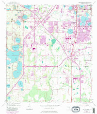
1956 Orlando West
Orange County, FL
1994 Orlando East
Orange County, FL
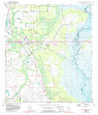
1995 Orlando West
Orange County, FL
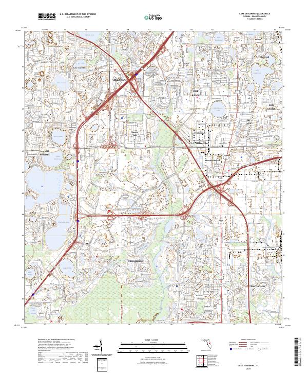
2024 Lake Jessamine
Orange County, FL
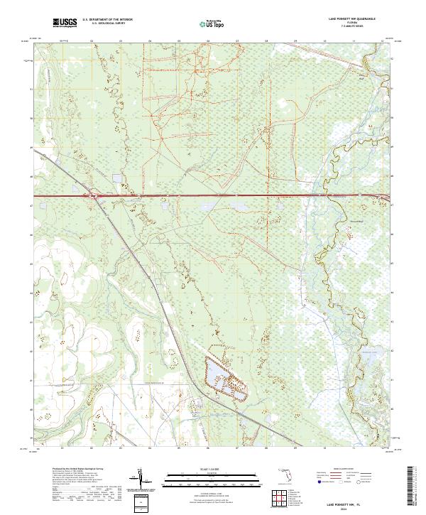
2024 Lake Poinsett NW
Orange County, FL
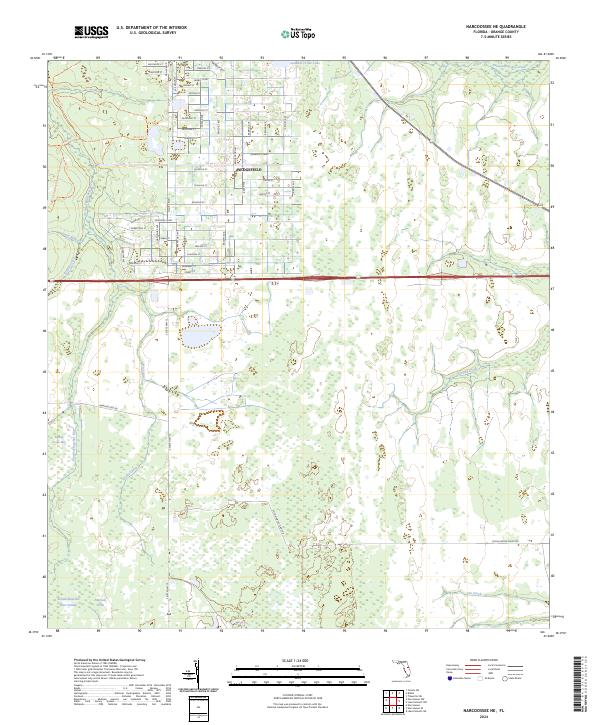
2024 Narcoossee NE
Orange County, FL
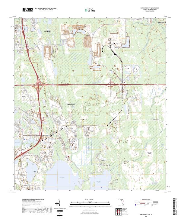
2024 Narcoossee NW
Orange County, FL
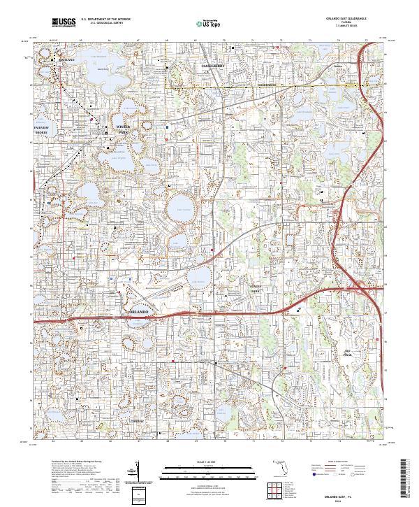
2024 Orlando East
Orange County, FL
2024 Orlando West
Orange County, FL
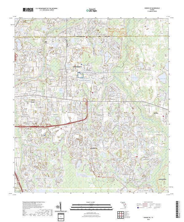
2024 Oviedo SW
Orange County, FL