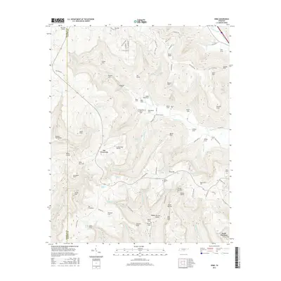
2016 Map of Orme
USGS Topo · Published 2016About this map
Orme sits at the base of the Cumberland Plateau in Marion County, where the Tennessee landscape is defined by deep coves and rising ridges. The settlement pattern follows these natural corridors, with residences and family sites concentrated in Sweetens Cove, Tate Cove, and Gourdneck Cove. The map documents several important local burial grounds, including Beene Cem and Thomas Cem, alongside the Orme Mountain Cem perched on the heights above the town.
Find a feature on this map
98 named features on this map. Tap any name to fly to it.
Don’t see what you’re looking for? This feature index may not catch every label — zoom into the map to look around manually.
Map Details
Editions of this 2016 Orme Map
This is the sole edition of this map. No revisions or reprints were ever made.
Other maps of this area
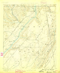
1886 · Stevenson
USGS Topo · 1:125,000
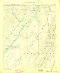
1892 · Stevenson
USGS Topo · 1:125,000
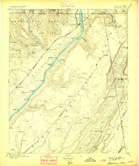
1895 · Stevenson
USGS Topo · 1:125,000
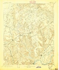
1895 · Sewanee
USGS Topo · 1:125,000
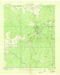
1936 · Sewanee
USGS Topo · 1:24,000
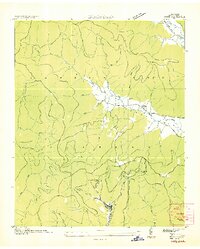
1936 · Orme
USGS Topo · 1:24,000
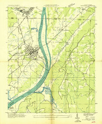
1936 · Bridgeport
USGS Topo · 1:24,000
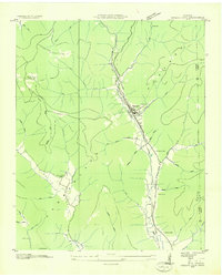
1936 · Sinking Cove
USGS Topo · 1:24,000
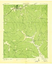
1936 · Monteagle
USGS Topo · 1:24,000
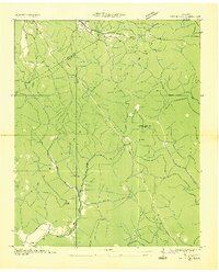
1936 · White City
USGS Topo · 1:24,000