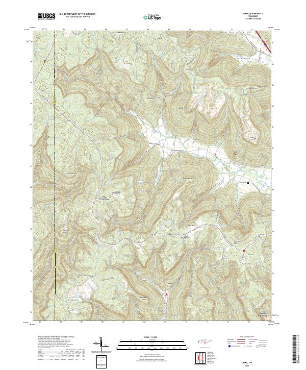
2022 Map of Orme
USGS Topo · Published 2022About this map
Cumberland Plateau geography dominates this Marion County landscape, where the settlement of Orme sits deep within a complex system of coves and hollows. The intricate network of drainage, including Gourdneck Cove Br and Sweden Cr, highlights how early routes and settlements were dictated by the local topography. Family names and local history are preserved in sites like Beene Cem, Thomas Cem, and Orme Mountain Cem, while landmarks such as Price Ridge and Turnpike Point indicate the historical importance of mountain passes.
Find a feature on this map
109 named features on this map. Tap any name to fly to it.
Don’t see what you’re looking for? This feature index may not catch every label — zoom into the map to look around manually.
Map Details
Editions of this 2022 Orme Map
This is the sole edition of this map. No revisions or reprints were ever made.
Other maps of this area

1886 · Stevenson
USGS Topo · 1:125,000

1892 · Stevenson
USGS Topo · 1:125,000

1895 · Stevenson
USGS Topo · 1:125,000

1895 · Sewanee
USGS Topo · 1:125,000

1936 · Sewanee
USGS Topo · 1:24,000

1936 · Orme
USGS Topo · 1:24,000

1936 · Bridgeport
USGS Topo · 1:24,000

1936 · Sinking Cove
USGS Topo · 1:24,000

1936 · Monteagle
USGS Topo · 1:24,000

1936 · White City
USGS Topo · 1:24,000