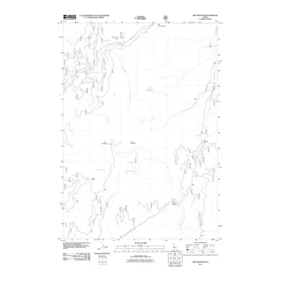
2011 Map of Oro Mountain
USGS Topo · Published 2011About this map
Oro Mountain and the surrounding high country of Valley County define this landscape, where the headwaters of the Middle Fork Payette River gather before moving south. The 2011 survey documents a complex network of forest access routes, including Nat For Dev Rd 409 and Warm Lake Rd, which navigate the steep divide between major watersheds. High-altitude crossings like Railroad Pass and Big Creek Summit indicate the traditional passage points used to traverse the ridges between drainage basins. Deep basins and meadows, such as Lost Basin, Stony Meadow, and Porcupine Flat, break up the timbered slopes, while Curtis Lake provides a notable landmark in the central interior. This map is a record of the modern hydrological and transportation framework in a region characterized by numerous named tributaries, including Horsethief Creek, Johnson Creek, and Clear Creek.
Find a feature on this map
22 named features on this map. Tap any name to fly to it.
Don’t see what you’re looking for? This feature index may not catch every label — zoom into the map to look around manually.
Map Details
Editions of this 2011 Oro Mountain Map
This is the sole edition of this map. No revisions or reprints were ever made.
Other maps of this area

1909 · Garden Valley
USGS Topo · 1:125,000

1953 · Boiling Springs
USGS Topo · 1:62,500

1953 · Deadwood Reservoir
USGS Topo · 1:62,500

1954 · Gold Fork
USGS Topo · 1:62,500

1954 · Warm Lake
USGS Topo · 1:62,500

1957 · Challis
USGS Topo · 1:250,000

1960 · Challis
USGS Topo · 1:250,000

1963 · Challis
USGS Topo · 1:250,000

1982 · Pistol Creek
USGS Topo · 1:100,000

1982 · Deadwood River
USGS Topo · 1:100,000