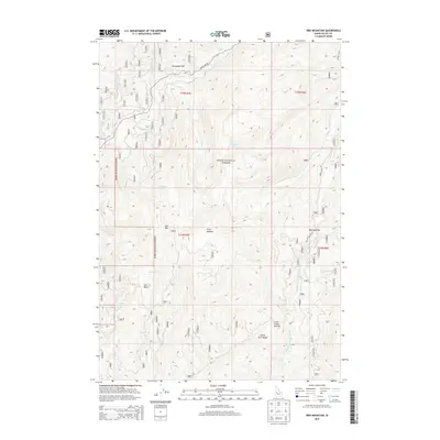
2013 Map of Oro Mountain
USGS Topo · Published 2013About this map
Oro Mtn and the high ridges of the North Fork Range dominate this section of the Boise National Forest in central Idaho. The landscape is defined by its dramatic elevation changes, rising from the Middle Fork Payette River toward prominent landmarks like Railroad Pass and Clear Creek Summit. Transportation through this steep terrain is concentrated along a few key corridors, including Warm Lake Rd and the Nat For Dev Rd 413, which provide access to high-country basins such as Lost Basin and Porcupine Flat. Drainage patterns are intricate, with Johnson Cr, Alpine Cr, and Curtis Cr carving deep valleys through the timbered slopes. The presence of Stony Meadow and Curtis Lake offers a look at the few relatively level pockets within this otherwise vertical environment, where early forest service infrastructure and recreational access began to shape the modern use of the wilderness.
Find a feature on this map
27 named features on this map. Tap any name to fly to it.
Don’t see what you’re looking for? This feature index may not catch every label — zoom into the map to look around manually.
Map Details
Editions of this 2013 Oro Mountain Map
This is the sole edition of this map. No revisions or reprints were ever made.
Other maps of this area
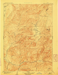
1909 · Garden Valley
USGS Topo · 1:125,000
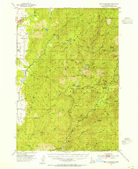
1953 · Boiling Springs
USGS Topo · 1:62,500
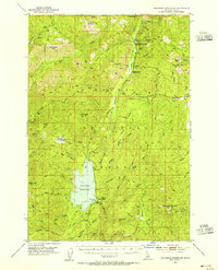
1953 · Deadwood Reservoir
USGS Topo · 1:62,500
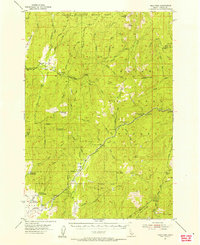
1954 · Gold Fork
USGS Topo · 1:62,500
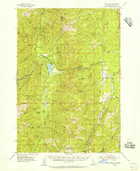
1954 · Warm Lake
USGS Topo · 1:62,500

1957 · Challis
USGS Topo · 1:250,000

1960 · Challis
USGS Topo · 1:250,000

1963 · Challis
USGS Topo · 1:250,000
1982 · Pistol Creek
USGS Topo · 1:100,000
1982 · Deadwood River
USGS Topo · 1:100,000