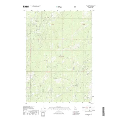
2020 Map of Oro Mountain
USGS Topo · Published 2020About this map
Boise National Forest dominates this mountain landscape in central Valley County, characterized by a complex network of high ridges and alpine drainages. The North Fork Range forms a spine through the territory, punctuated by landmarks like Oro Mtn and the strategically placed Railroad Pass. The hydrography is defined by the Middle Fork Payette River and its numerous tributaries, including Tyndall Creek and Clear Creek, which carve deep valleys between the summits.
Find a feature on this map
38 named features on this map. Tap any name to fly to it.
Don’t see what you’re looking for? This feature index may not catch every label — zoom into the map to look around manually.
Map Details
Editions of this 2020 Oro Mountain Map
This is the sole edition of this map. No revisions or reprints were ever made.
Other maps of this area

1909 · Garden Valley
USGS Topo · 1:125,000

1953 · Boiling Springs
USGS Topo · 1:62,500

1953 · Deadwood Reservoir
USGS Topo · 1:62,500

1954 · Gold Fork
USGS Topo · 1:62,500

1954 · Warm Lake
USGS Topo · 1:62,500

1957 · Challis
USGS Topo · 1:250,000

1960 · Challis
USGS Topo · 1:250,000

1963 · Challis
USGS Topo · 1:250,000

1982 · Pistol Creek
USGS Topo · 1:100,000

1982 · Deadwood River
USGS Topo · 1:100,000