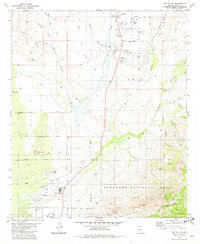
1981 Map of Oro Valley
USGS Topo · Published 1982About this map
The Cañada del Oro wash carves through this early 1980s landscape, serving as a geographical anchor for the burgeoning desert community of Oro Valley. The map captures a moment when mid-century ranching heritage, exemplified by the Steam Pump Ranch, began to interface with suburban expansion and recreational development. Residential tracts like Golder Ranch and the streets of Catalina appear alongside local education hubs such as Coronado Sch and Canyon del Oro High Sch.
Find a feature on this map
55 named features on this map. Tap any name to fly to it.
Don’t see what you’re looking for? This feature index may not catch every label — zoom into the map to look around manually.
Map Details
Editions of this 1981 Oro Valley Map
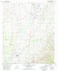
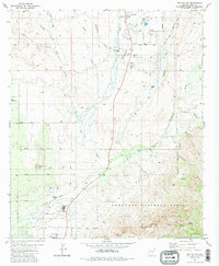
3 editions found
Other maps of this area

1904 · Tucson
USGS Topo · 1:125,000

1905 · Tucson
USGS Topo · 1:125,000

1911 · Winkelman
USGS Topo · 1:125,000

1913 · Winkelman
USGS Topo · 1:125,000

1934 · Tucson Mountains
USGS Topo · 1:125,000

1934 · Newman Peak
USGS Topo · 1:125,000

1947 · Cortaro
USGS Topo · 1:62,500

1956 · Tucson
USGS Topo · 1:250,000

1957 · Sabino Canyon
USGS Topo · 1:24,000

1957 · Cortaro
USGS Topo · 1:62,500